What is recorded here
Castle in Kilmallock, County Limerick, is not classed because its exact identity and purpose have not survived. It stood in Vicar's Lane, and by 1667 its front was already ruined. The castle may have been a private house, a guard post or a forgotten anchor for the town. Its absence is not empty; it is a shape waiting to be recognized.
The precise location of a castle in Vicar's Lane has not been identified. Described in the Urban Survey (Bradley et. al. 1989, 153) as following; '"Castle". vicars Lane. Its front was described as ruined in 1667'.
Compiled by: Caimin O'Brien
Date of upload: 01 October 2019
The monument record does not grant public access. Check the route and ask the landowner before entering private land.
- What survives
- Recorded monument
Places near here
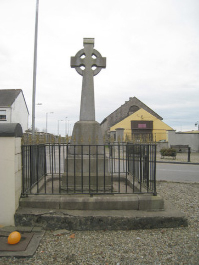 1798 Monumentmonument · 17 yd
 King John's CastleCastle · 38 yd
 Kings CastleCastle, tower house · 39 yd
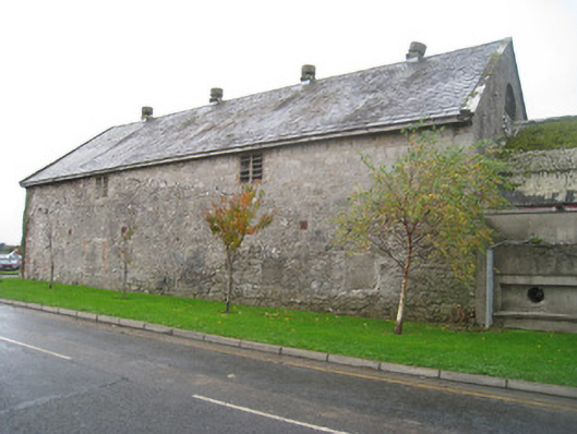 creamerycreamery · 59 yd
 Round TowerRound tower · 108 yd
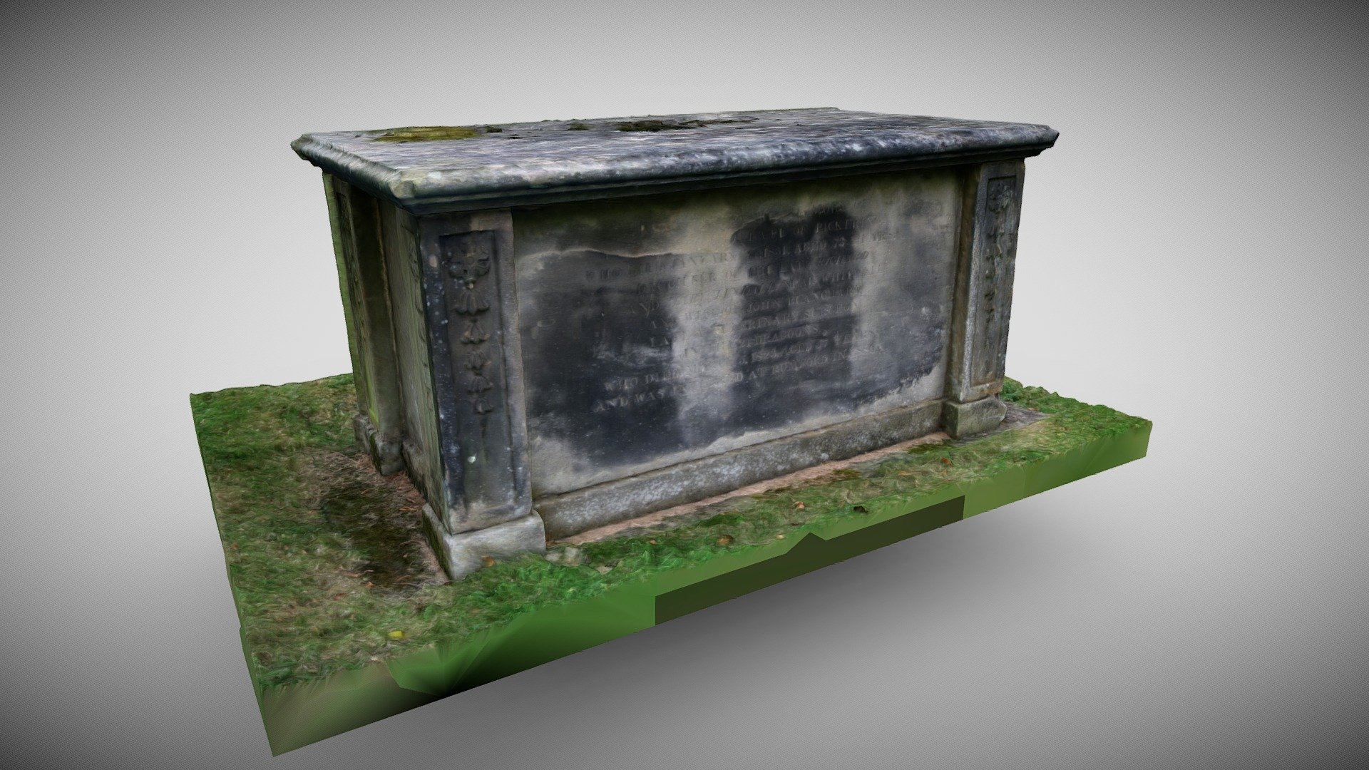 TombTomb, chest tomb · 120 yd
 Kilmallock AbbeyHeritage attraction · 191 yd
 Site of Castle CooteBawn · 652 yd
 St Bridget's WellSpring · 1.8 mi
 Lady's WellSpring · 3.2 mi
 Ballyhoura tourist informationVisitor information · 5.3 mi
 Holy Cross CemeteryGraveyard · 5.5 mi