What is recorded here
Slightly S of and below the crest of an E-W ridge of hills running along the N side of the Nuenna river valley, in rough pasture and bracken. There are good views in all directions, except to N. Identified as a field system on an aerial photograph (GSI S421, 1:30,000). This consists of a number of field boundaries which radiate out from an enclosure (KK013-101001-), some of which may be contemporary with the enclosure. It is likely that other field boundaries and trackways are later, the latter possibly relating to quarrying which took place within the enclosure.
Compiled by: Jean Farrelly
Date of upload: 1 April 2020
The monument record does not grant public access. Check the route and ask the landowner before entering private land.
- What survives
- Recorded monument
Places near here
 Enclosure in KilloshulanEnclosure · 39 yd
 Killoshulan Castle (ruin)Castle · 575 yd
 TempleclashshibaunChurch · 618 yd
 Clomantagh Lower RingfortArchaeological place · 868 yd
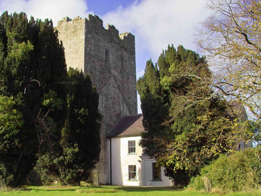 farm housefarm house · 1428 yd
 CastleCastle, tower house · 1438 yd
 Clomantagh HillMountain / peak · 1.5 mi
 Kildrinagh WoodForest · 3.0 mi
 John HelyMemorial · 3.4 mi
 DelaneyMemorial · 3.5 mi
 Street fieldArchaeological place · 4.0 mi
 Anker's IslandIsland · 7.3 mi