
What is recorded here
On a broad gently sloping terrace below uplands and above the valley, in rolling grassland. Views are good views across the valleys from E-S-W and restricted to the N by rising ground. Identified as a circular cropmark (diam. c. 15m) on an aerial photograph (GSI roll 43, print 34). It is not visible at ground level. There are several small quarry holes in this and adjacent fields.
Compiled by: Jean Farrelly
Date of upload: 7 February 2018
The monument record does not grant public access. Check the route and ask the landowner before entering private land.
- What survives
- Recorded monument
Places near here
 Enclosure in KilloshulanEnclosure · 492 yd
 TempleclashshibaunChurch · 847 yd
 Killoshulan Castle (ruin)Castle · 976 yd
 Newtown Ringfort (rath)Archaeological place · 1331 yd
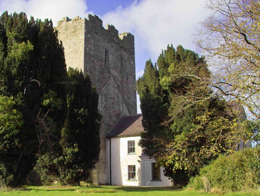 farm housefarm house · 1.2 mi
 Clomantagh HillMountain / peak · 1.4 mi
 Balleen Castle (ruins)Castle · 1.6 mi
 John HelyMemorial · 3.3 mi
 DelaneyMemorial · 3.4 mi
 Kildrinagh WoodForest · 3.4 mi
 Street fieldArchaeological place · 3.5 mi
 Anker's IslandIsland · 7.0 mi
Other information
Photo: Credit not shown in the picture search · Rights wording not checked; contact us if this picture should be removed