What is recorded here
In County Down, a forgotten platform became a windmill base, proving that human hands keep claiming dead stone for new fire. The cathedral of centuries is not a building but a ladder of uses, each one climbing through skin, memory and consequence. What you discard, the world recovers. What you overlook, the world completes.
The official Northern Ireland record identifies this as PLATFORM? RATH, reused as WINDMILL PLATFORM - IHR 02935. Recorded period: E.CHRIST.. The official map point was placed at the centre of the recorded archaeological site from the source map reference.
The monument record does not grant public access. Check the route and ask the landowner before entering private land.
- What survives
- Recorded monument
Places near here
 Modern Church on site of MEDIEVAL PARISH CHURCH & poss. PRE-NORMAN CHURCH in KillinchyModern Church on site of MEDIEVAL PARISH CHURCH & poss. PRE-NORMAN CHURCH · 547 yd
 ENCLOSUREENCLOSURE, RATH? · 1033 yd
 Conly IslandIslet · 1.5 mi
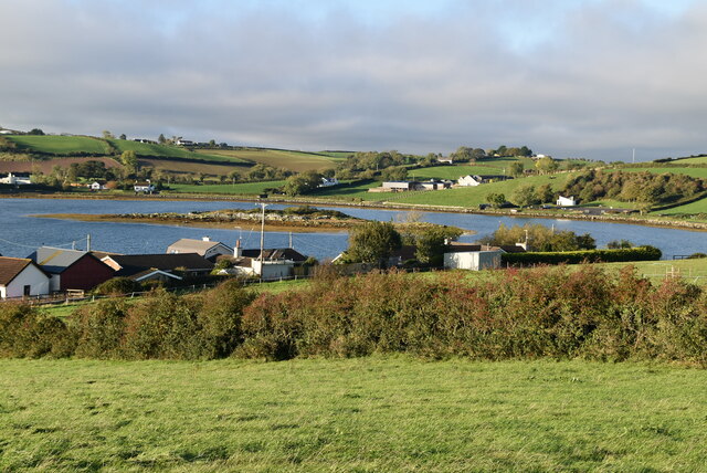 Hen IslandIslet · 1.5 mi
 CHURCH (in ruins) in RathgormanCHURCH (in ruins) · 1.7 mi
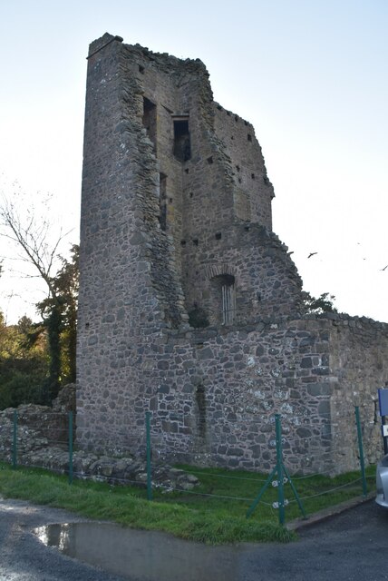 Sketrick Castle (ruin)Castle · 1.7 mi
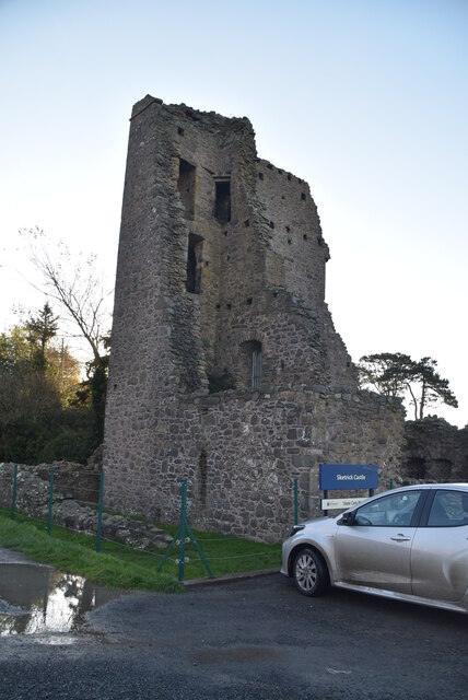 TOWER-HOUSE, BAWN & PASSAGE TO SPRING: SKETRICK CASTLE in Sketrick IslandTOWER-HOUSE, BAWN & PASSAGE TO SPRING: SKETRICK CASTLE · 1.7 mi
 The Round TowerVisitor information · 2.3 mi
 Post-Medieval church & graveyard in TullynakillPost-Medieval church & graveyard · 2.6 mi
 Island Reagh, Strangford LoughWalking route · 2.8 mi
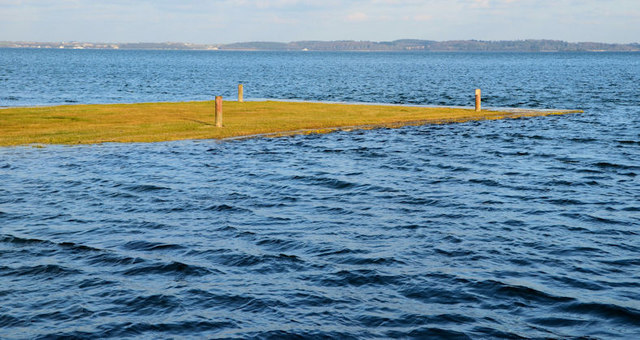 Ringneill QuayBay · 3.3 mi
 Raffrey Presbyterian ChurchChurch · 3.3 mi