What is recorded here
Settlement cluster in Killeenboy is a settlement cluster in Killeenboy, County Roscommon, Ireland. A pre-1596 reference appears on the Loeber 1991 map, while Cronin 1980 connects the site to Killenoman, lost by Edward White to Irish rebels before 1596. Two houses and buildings marked on the 1777 estate map may belong to the same settlement.
There is a reference (Loeber 1991 map) to a pre-1596 settlement. It is not mentioned by Cronin (1980) unless it is Killenoman, lost by Edward White to Irish rebels before 1596 (P 118). It is not marked on the Strafford map of c. 1636 (Simington 1949, Ballintubber C). Also two houses and buildings are marked on a 1777 estate map (RO040-045----) at Killeenboy, which could be the same settlement. It was not encountered.
Compiled by: Michael Moore
Date of upload: 24 August 2010
The monument record does not grant public access. Check the route and ask the landowner before entering private land.
- What survives
- Recorded monument
Places near here
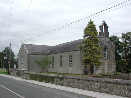 Kilteevan Community Centrechurch/chapel · 1426 yd
 Church in Clooncah (ballintober South By.)Church · 1580 yd
 AltarMass-rock · 1671 yd
 St Bridgets WellHoly well · 1.2 mi
 Big IslandForest · 1.4 mi
 Little IslandForest · 1.6 mi
 Roscommon CastleCastle · 2.7 mi
 Hangman's HillMountain / peak · 3.6 mi
 FerrinchIslet · 3.7 mi
 Cruit BayBay · 3.8 mi
 Bushy IslandIslet · 4.1 mi
 Galey CastleCastle, tower house · 4.3 mi