What is recorded here
Fairy fort in Killeen, County Cork: a 22 m earthen ring on a south-facing slope, with a shallow outside ditch, a small entrance gap to the south-east, and low mounds inside. It is the kind of place people once called a fairy fort because it looks made for hidden life rather than ordinary use. A person may have stood at the gap, watched the valley, and left before darkness took the field.
In pasture, on S-facing slope. Circular raised area (22m N-S) enclosed by earthen bank (int. H 0.95m; ext. H 2.75m) external fosse (D 0.2m) NNE->SSE; counterscarp bank (H 0.6m) SW->NW. Gap to SSE (Wth 2m). Field boundary, running N-S, crosses enclosure on E side. Interior raised on S side to compensate for hillslope; low, irregular sod-covered mounds on W side.
The above description is derived from the published 'Archaeological Inventory of County Cork. Volume 1: West Cork' (Dublin: Stationery Office, 1992). In certain instances the entries have been revised and updated in the light of recent research.
Date of upload/revision: 14 January 2009
The monument record does not grant public access. Check the route and ask the landowner before entering private land.
- What survives
- Recorded monument
Places near here
 IndicatedFairy fort / earthen ringfort · 596 yd
 Burial ground in Kill SouthBurial ground · 822 yd
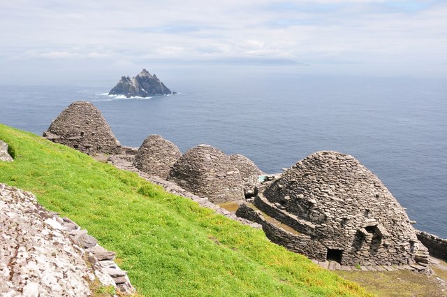 Keel MonasteryRuins · 1523 yd
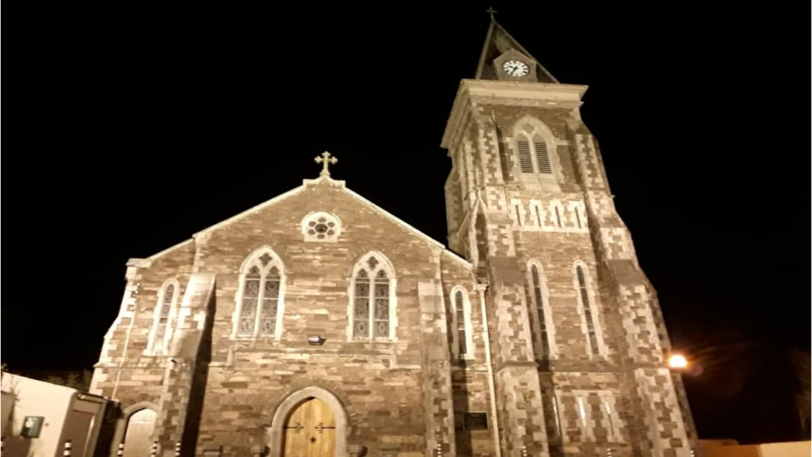 R. C. ChapelChurch · 1.1 mi
 Castle DerryCastle · 1.2 mi
 The GlenWood · 2.3 mi
 Tobar MacloonaboySpring · 2.4 mi
 Corran HillMountain / peak · 2.4 mi
 Battle of the Big Cross (1798) Memorial MonumentMonument · 3.1 mi
 Fahanacowley Castle (Site of)Castle, unclassified · 3.4 mi
 Irish National Forestry FoundationNature reserve · 4.9 mi
 Michael Collins CentreMuseum · 4.9 mi