What is recorded here
Killeany held a rectangular moated enclosure measuring sixty by forty metres beside a river, visible only on old survey maps because water and time erased every stone marker. The nearby tower house still stands east of the vanished ditch, suggesting the moat served a resident family rather than a forgotten field experiment. Perhaps children skipped stones across the wet grass where the boundary once bit deep, unaware they played inside a deleted room of the county.
Marked on the 1841 and 1909 editions of the OS 6-inch map as a rectangular enclosure (max. dims. 60m N-S; 40m E-W). In a low-lying area beside a river. No visible surface remains. A tower house (LA023-012001-) lies to E.
The above description is derived from the published 'Archaeological Inventory of County Laois' (Dublin Stationery Office, 1995) compiled by P. David Sweetman, Olive Alcock and Bernie Moran. In certain instances the entries have been revised and updated in the light of recent research.
Date of upload: 17 December 2007
The monument record does not grant public access. Check the route and ask the landowner before entering private land.
- What survives
- Recorded monument
Places near here
 Killeany Castle (ruins)Castle · 65 yd
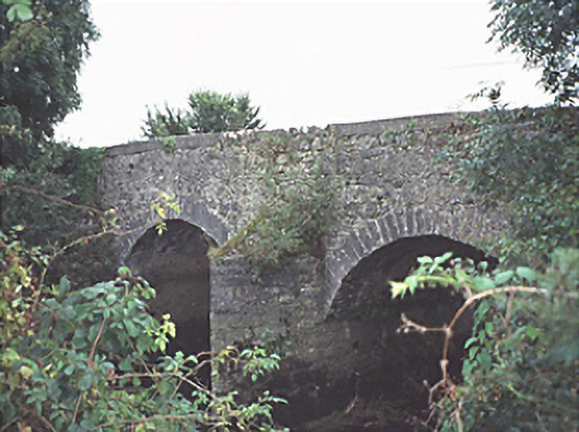 New Bridgebridge · 568 yd
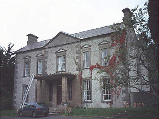 Springmount Househouse · 851 yd
 Enclosure in Shanahoe,springmountEnclosure · 1220 yd
 Enclosure in KilleanyEnclosure · 1752 yd
 Scotch RathHouse, fortified house · 1.4 mi
 Sweet ChestnutSweet Chestnut · 3.8 mi
 Birchfield PlantationForest · 3.8 mi
 Abbeyleix Heritage CentreMuseum · 4.1 mi
 Knocknamoe HouseMemorial · 4.2 mi
 Anker's IslandIsland · 9.3 mi
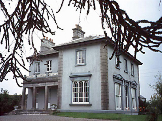 Shanahoe Househouse · 1492 yd