What is recorded here
On a gentle NW-facing slope, with a low-lying marshy area at the base of the slope. A spread of dark soil and burnt stones (dims. 15m N-S; 11m E-W) with a second spread of burnt material (KK030-012002-) located 20m to the NE.
Compiled by: Jean Farrelly
Date of upload: 25 July 2023
The monument record does not grant public access. Check the route and ask the landowner before entering private land.
- What survives
- Recorded monument
Places near here
 St. Nicholas WellHoly well · 324 yd
 Bullaun stone in KillameryBullaun stone · 333 yd
 Saint Nicholas's Church (Killamery)church/chapel · 338 yd
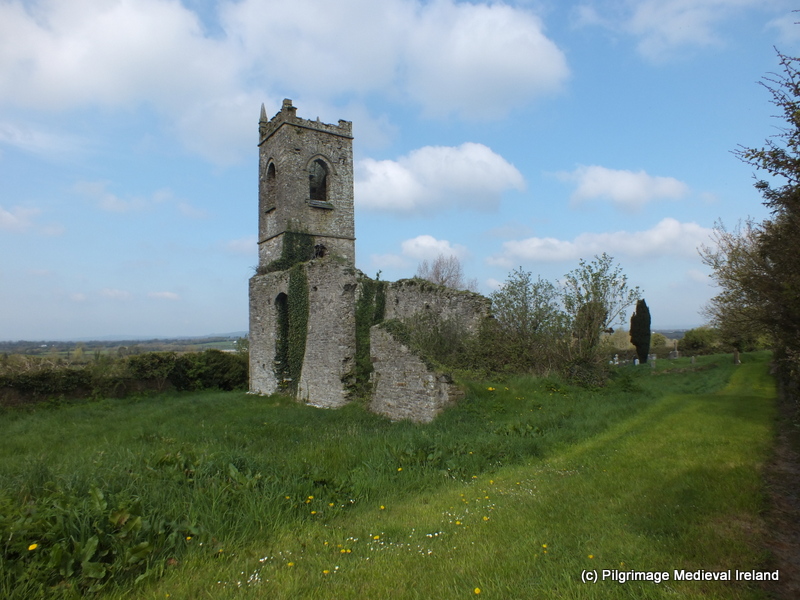 Church (in ruins)Church · 346 yd
 Killamery High CrossVisitor information · 360 yd
 IndicatedCastle, motte · 463 yd
 KillameryVisitor information · 501 yd
 The SpoutMemorial · 1.2 mi
 Bawn in GarryrickinBawn · 1.3 mi
 James (Jim) McKennaMemorial · 1.8 mi
 HawthornHawthorn · 3.4 mi
 European ashEuropean ash · 3.5 mi