What is recorded here
Yes. The alternative is a visibly different reasonable backup feature on the same correct context. Show the exact input, the exact visible output and the real failure in that input.
Aerial photograph (CUCAP AVM 7) shows the cropmarks of a small field system, possibly connected with a church (KD037-037002-) and Children's burial ground (KD037-037003-) described by Fitzgerald (1906-08, 120-1) as being located in this area. Two other small field systems (KD037-035---- and KD037-036----) and a circular enclosure (KD037-034----) occur in the immediate vicinity. These features are also visible on a later (1989) aerial photo.
Date of upload: 15 September 2016
The monument record does not grant public access. Check the route and ask the landowner before entering private land.
- What survives
- Recorded monument
Places near here
 Church in Kilkea UpperChurch · 76 yd
 Enclosure in Kilkea UpperEnclosure · 146 yd
 Enclosure in Castleroe WestEnclosure · 544 yd
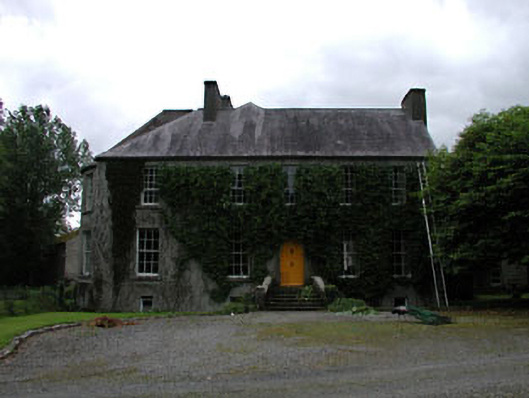 Millbrookmiller's house · 555 yd
 Kilkea CastleCastle, tower house · 1.0 mi
 MoatCastle, motte · 1.0 mi
 Lorcán Ó TuathailMemorial · 1.2 mi
 Dollardstown WoodForest · 1.2 mi
 Mullaghreelan WoodForest · 1.4 mi
 ProclamationMemorial · 3.1 mi
 Franciscan FriaryHeritage attraction · 3.3 mi
 Castledermot Round TowerHeritage attraction · 3.3 mi