What is recorded here
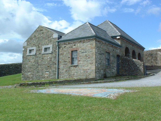
In pasture, on gentle S-facing slope. Roughly oval area (136m E-W; 130m N-S), defined by steep scarp (H 1.1m) ESE->SW with barely perceptible external fosse, by earthen bank SW->W with internal and external fosse, by almost levelled earthen bank W->NW with external fosse and by modern fence and trees NW->NNE, with curve in disused roadway to E which may respect line of enclosure. Outer earthen bank (H 0.8m; Wth c. 1.2m) W->NW, stone faced in parts. Bank to SW and outer bank to NW incorporated into field boundary system. According to local information, church located here. 'Ceall Droma', named in Crichad an Chaoilli, is equated by Power (1932, 81) with the present 'Kildrum, where a famous church was founded by St. Abban...indicated by a large double-ramparted and circular entrenchment crowning the most conspicuous elevation of the townland, on Robinson's farm...[the] holy city here was called Cill na Marbhán of which the fame rested largely on its attached cemetery...'. Possible mill site (15236) to S of enclosure, in field adjoining stream.
The above description is derived from the published 'Archaeological Inventory of County Cork. Volume 4: North Cork' (Dublin: Stationery Office, 2000). In certain instances the entries have been revised and updated in the light of recent research.
Date of upload/revision: 14 January 2009
Add the human story, a picture, a first-hand message or a missing place.
Earn 5 points after the picture is checked and accepted.
Add a pictureAdd its storyTalk or ask a questionAdd a new placeThe monument record does not grant public access. Check the route and ask the landowner before entering private land.
Conversation about this place
Questions and messages sit beneath the source record. They are checked before appearing.
No questions or messages yet.
Ask a question or join the conversation