What is recorded here
Kilcroney is called a fairy fort because people believed fairies lived there, but the measured facts show a human ringfort with a broad earthen bank and a possible entrance at the east. It stands on a natural hillock, which means someone chose a visible place and built a boundary around it. The bank is worn now, yet the circle still fits the land like a mark made by repeated use.
The following description is derived from both the published 'Archaeological Inventory of County Louth' (Dublin: Stationery Office, 1986) and the 'Archaeological Survey of County Louth' (Dublin: Stationery Office, 1991). In certain instances the entries have been revised and updated in the light of recent research.
Date of upload/revision: 17 July 2007
Circular area (int. diam. 28.5m), situated on a natural hillock, enclosed by much-degraded earthen bank (Wth 4m, H c. 0.1m internally, c. 1.5m externally) now almost reduced to a scarp. Possible ancient entrance at ENE indicated by a slight depression in the scarp.
The monument record does not grant public access. Check the route and ask the landowner before entering private land.
- What survives
- Recorded monument
Places near here
 Church in KilcroneyChurch · 824 yd
 Cave (Site of)Man-made underground passage · 1209 yd
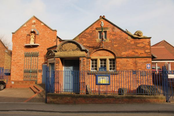 Enclosure in ChristianstownEnclosure · 1279 yd
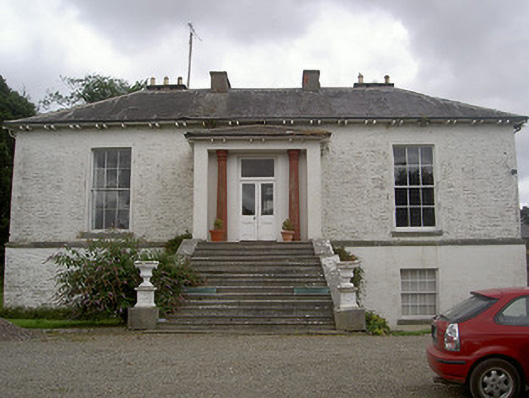 Corderry Housecountry house · 1618 yd
 CastleCastle, tower house · 1.2 mi
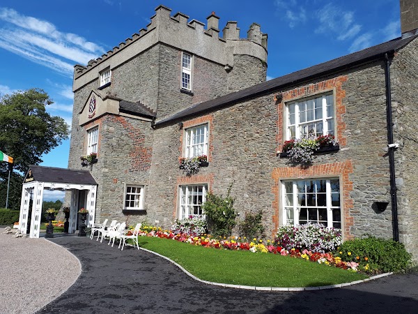 Darver CastleCastle · 1.5 mi
:no_upscale()/cdn.vox-cdn.com/uploads/chorus_asset/file/25593391/County_Louth_6th.jpg) LouthMountain / peak · 1.6 mi
LouthMountain / peak · 1.6 mi Long PlantationForest · 2.4 mi
 Rabbit BurrowWood · 2.6 mi
 Drummeenagh HillMountain / peak · 4.8 mi
 Photo GalleryHeritage attraction · 6.1 mi
 Dundalk CentralHeritage attraction · 6.1 mi