What is recorded here
Designed landscape is a designed landscape (formal garden) in Kilcoolyabbey, County Tipperary, Ireland. The surviving oval earthwork is defined by a broad, flat outer bank measuring 7.5 metres across its crest and 11.5 metres at its base, standing 0.28 metres high outside its own fosse. This bank encloses a central raised area and an inner ditch, forming the main visible boundary of the formal garden on the level ground west of the abbey.
On level ground under grass c. 100m W of Kilcooly Abbey (TS943-034001-). A large oval earthwork (diam. from outer bank 58m N-S; 74m E-W) has been identified on several aerial photographs (CUCAP APD 58/59 July 1966; D. Pochin Mould 6 May 1974; L. Swan no date; G. Barrett GB91.EH.34 17 July 1991) and has been interpreted as an enclosure, rath or ringwork (Stalley 1987, 39; Barrett 2010 unpublished report). It is clearly visible on the ground as an undulating raised oval area (H 0.47m) defined by scarp (H 0.2m) enclosed by a fosse (Wth 8m; D 0.2m), broad, flat outer bank (Wth crest 7.5m; Wth at base 11.5m; ext. H 0.28m) and outer fosse (Wth 4.8m; D 0.28m). A causeway feature (Wth 9.2m N-S; L 8.6m E-W) extends westward from the oval and terminates in a roughly circular raised area (dims. 17.5m N-S; 15m E-W). An estate map of 1749 shows a large oval garden with projections from both the E and W quadrants at this location (Neely 1983, 2005 Reprint, 50) and it would appear that this earthwork is in fact a slightly raised and rather elaborate formal garden. Kilcooly Abbey had been converted into a house in the late 17th/early 18th century and continued to be occupied until the present Kilcooly House was built c. 1760 (ibid.). The eastern projection is not visible and was probably levelled when a ha-ha, which runs NW-SE 16m E of the oval enclosure, was built in association with the later house.
Compiled by: Jean Farrelly
Date of upload: 26 August 2011
This monument is subject to a preservation order made under the National Monuments Acts 1930 to 2014 (PO no. 3/2010).
The monument record does not grant public access. Check the route and ask the landowner before entering private land.
- What survives
- Recorded monument
Places near here
 TombTomb, effigial · 192 yd
 Graveslab in KilcoolyabbeyGraveslab · 196 yd
 Kilcooly AbbeyHeritage attraction · 197 yd
 Kilcooly Abbey (in ruins)Religious house, Cistercian monks · 202 yd
 KilcooleyForest · 566 yd
 Rapefield WoodForest · 1044 yd
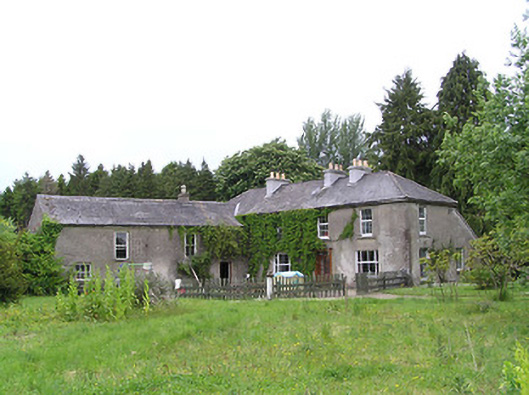 George's Parkhouse · 1456 yd
 Clonamicklon Castle (in ruins)Bawn · 1.3 mi
 Grange Castle (in ruins)Castle, tower house · 1.3 mi
 Bregaun HillMountain / peak · 2.1 mi
 Warhouse HillMountain / peak · 4.1 mi
 DelaneyMemorial · 5.4 mi