What is recorded here
Cairn is a grass-covered ring on a low hill in County Leitrim, Ireland. It sits near Sheemore and Sheebeg, with other stone marks within a hundred metres. The bank is slight, the centre is dished, and no entrance is visible. Field walls now cross part of the perimeter, but the circle still reads as a deliberate shape on the slope.
Located towards the top of the gentle NE-facing slope of a low hill with higher drumlins immediately around it while Sheemore is c. 2.3km to the SW and Sheebeg is c. 2km to the ENE. This is a grass and scrub-covered circular, slightly dished, area (int. dims 20.3m NW-SE; 19.3m NE-SW) defined by a grass-covered stone spread (Wth 5-6m; int. H 0.2-0.5m). The exterior of the bank is flush with the ground SE-SW (max. ext. H 0.6m at NW) and there is no visible entrance. The perimeter is overlain by field walls NW-S E, and the bank might be partly destroyed NE of the field wall. The cairn (LE028-002---) is c. 130m to the NW, while a stone group (LE028-004---) and ring-cairn (LE028-005---) are c. 100m to the WSW and c. 85m to the SW respectively.
The above description is derived from 'The Archaeological Inventory of County Leitrim' compiled by Michael J. Moore (Dublin: Stationery Office, 2003). In certain instances the entries have been revised and updated in the light of recent research.
Date of upload: 23 September 2008
A ring-cairn, likely dating to the Neolithic or Bronze Age. Such cairns are often associated with ritual or funerary activity and are significant as markers of early land use and social organization in the landscape.
The monument record does not grant public access. Check the route and ask the landowner before entering private land.
- What survives
- Recorded monument
Places near here
 St. Patricks WellHoly well · 699 yd
 IndicatedFairy fort / earthen ringfort · 917 yd
 bridgebridge · 1.0 mi
 Sheemore Ambush MemorialMonument · 1.2 mi
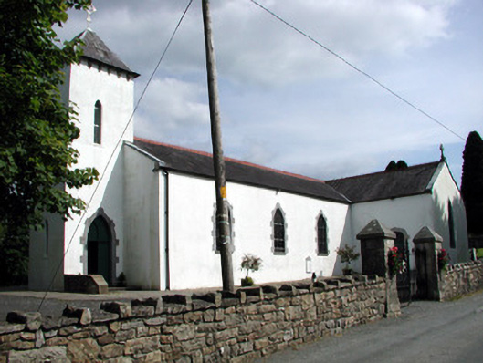 Saint Brigid's Catholic Churchchurch/chapel · 1.5 mi
 Leabaidh DermotCave · 1.5 mi
 Rusheen IslandIslet · 1.8 mi
 Castle JohnCastle · 1.9 mi
 Small IslandIslet · 2.0 mi
 Shannon-Erne WaterwayVisitor information · 3.3 mi
 Sit of Breifny CastleCastle, tower house · 3.3 mi
 Battle of Áth an Chipbattle · 3.7 mi