What is recorded here
On a gentle E-facing slope, in flat pasture. Excavated in 2007 in advance of the N9/N10 Kilcullen to Waterford road improvement scheme (Licence no. E3856). A number of burnt spreads, the largest of which measured 12m by 8m, consisted of blackened sandy silt and overlay four troughs and a waterhole. The waterhole was the largest feature with the troughs and several pits clustered around it. Although the troughs were of varying dates the waterhole appears to have been the focal point. The easternmost trough (1.4m x 1.3m; D 0.45m) was sub-rectangular with three stake-holes in the base indicating that it was lined. It yielded a radiocarbon date of 2399–2154 cal BC (UBA 14044). A second undated trough immediately SW is likely to have been associated. The waterhole itself (7m by 6.2m; D of c. 6m) had sloping sides at the centre, becoming vertical c. 1.5m below the surface. There were two sub-rectangular pits adjacent to each other to the W of the waterhole. One had 22 stake-holes scattered around the base and was radiocarbon dated to 751-409 cal BC (UBA-14043). The second had a series of 35 tightly spaced stake-holes around the perimeter of the base and remained undated. An arc of stake-holes may indicate a windbreak between the two troughs. (Wiersbicki 2010, 251, no. 952; Wiersbicki and Coughlan 2012)
Compiled by: Mary Tunney
Date of upload: 6 January 2014
The monument record does not grant public access. Check the route and ask the landowner before entering private land.
- What survives
- Recorded monument
Places near here
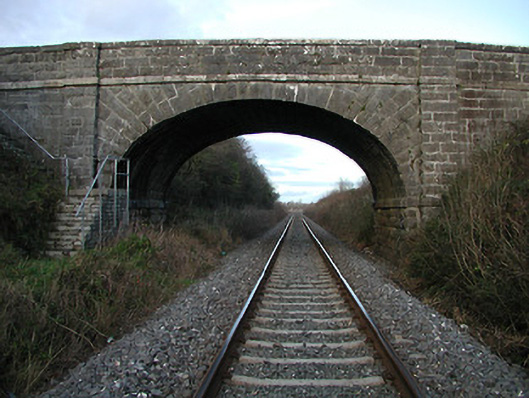 bridgebridge · 117 yd
 Brophys of the PostArchaeological place · 639 yd
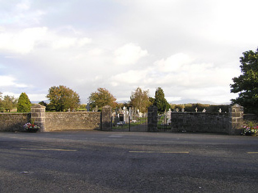 graveyard/cemeterygraveyard/cemetery · 750 yd
 The Green GardenWood · 782 yd
 Rudolf TrenchArchaeological place · 1030 yd
 Church (in ruins), GraveyardChurch · 2.0 mi
 Site of CastleCastle, unclassified · 2.8 mi
 Lock Keeper's House and Lodge MillsVisitor information · 3.1 mi
 Freneystown CastleCastle, tower house · 3.2 mi
 The Columban WayVisitor information · 3.5 mi
 Church, GraveyardChurch · 4.0 mi
 Wych ElmWych Elm · 4.3 mi