What is recorded here
Hot water hissed in Kellymount four thousand years ago, heating stones until they cracked and spitting steam into the eastern slope. People dug troughs, drove stakes into the corners and likely cooked food, cleaned cloth or prepared bodies for burial. The site also held a later waterhole and an unexplained enclosed area, suggesting the place remained useful long after the first fires died.
On a gentle E-facing slope, in flat pasture. Excavated in 2007 in advance of the N9/N10 Kilcullen to Waterford road improvement scheme (Licence no. E3757). An area of fire-cracked stones and blackened sandy silt (16m x 15m x 0.4m) beneath which lay a sub-rectangular trough, with stake-holes in each corner, dated to 2133-1940 cal BC (UBA-14040). A further 25 stake-holes were recorded along the N side but it is unclear if these were associated. A second trough was excavated c. 8m to the W and this was dated to 1679-1523 cal BC (UBA-14042). A large pit/waterhole (diam. 4m; D 2m) was identified between the two troughs. It was dated to cal AD 236-380 (UBA-14041). A horseshoe-shaped arc of post and stake-holes enclosed an area (6m x 3.5m) to the NE of the waterhole. The purpose of this area is unclear. A number of undated pits, post-holes and stake-hole clusters were also identified across the excavated area. (Wiersbicki 2010, 251, no. 951; Wiersbicki and Coughlan 2012)
Compiled by: Mary Tunney
Date of upload: 6 January 2014
The monument record does not grant public access. Check the route and ask the landowner before entering private land.
- What survives
- Recorded monument
Places near here
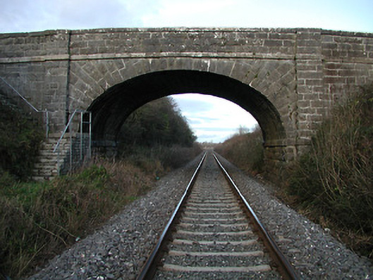 bridgebridge · 178 yd
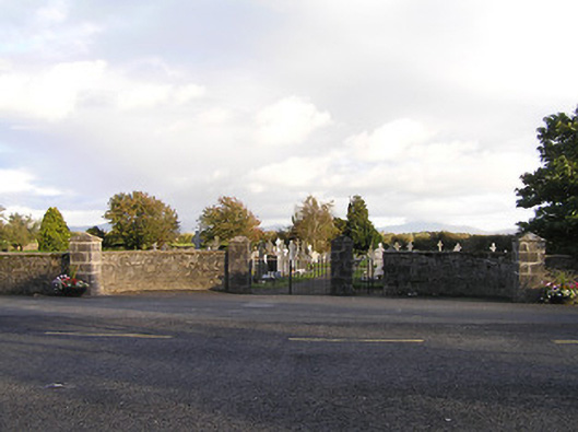 graveyard/cemeterygraveyard/cemetery · 664 yd
 Brophys of the PostArchaeological place · 835 yd
 The Green GardenWood · 1010 yd
 Rudolf TrenchArchaeological place · 1278 yd
 Church (in ruins), GraveyardChurch · 2.1 mi
 Site of CastleCastle, unclassified · 2.8 mi
 Freneystown CastleCastle, tower house · 3.1 mi
 Lock Keeper's House and Lodge MillsVisitor information · 3.3 mi
 The Columban WayVisitor information · 3.7 mi
 Church, GraveyardChurch · 4.2 mi
 HawthornHawthorn · 4.4 mi