What is recorded here
Crannog or island, the distinction still wobbles in the water. That uncertainty is not a gap, it is the shape of the place: a man-made island in a living lake, built to be seen and remembered. Polepatrick gives it address; the water gives it life.
The official Northern Ireland record identifies this as ISLAND, possibly CRANNOG. Recorded period: E.CHRIST.. The official map point was placed at the centre of the recorded archaeological site from the source map reference.
The monument record does not grant public access. Check the route and ask the landowner before entering private land.
- What survives
- Recorded monument
Places near here
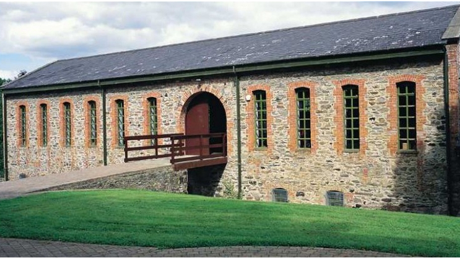 ENCLOSURE (O.S. memoir site, unlocated) in DunamoneyENCLOSURE (O.S. memoir site, unlocated) · 646 yd
 ENCLOSURE in DunamoneyENCLOSURE · 1302 yd
 Ulster BankBank · 1318 yd
 Presbyterian ChurchChurch · 1.7 mi
 War MemorialMonument · 1.8 mi
 Bellaghy BawnMuseum · 4.2 mi
 PLANTATION CASTLE & BAWN on site of RATH: BELLAGHY BAWN in Old Town Deer ParkPLANTATION CASTLE & BAWN on site of RATH: BELLAGHY BAWN · 4.2 mi
 The Strand at Lough BegVisitor information · 4.4 mi
 TOWER-HOUSE & BAWN: TOOME CASTLE in ToomeTOWER-HOUSE & BAWN: TOOME CASTLE · 5.1 mi
 Slieve Gallion NE TopMountain / peak · 5.9 mi
 Coltrim Picnic ParkPicnic place · 6.2 mi
 Portglenone ForestForest · 7.9 mi