What is recorded here
Crannog islands were ancient lake homes, and Drummully may hold one beneath its water still. The official record hedges its certainty, leaving the island half-remembered rather than plainly named. That uncertainty suits the place. A crannog is not a monument built to be read; it is a life led beside water, with firelight on reeds and doors opening onto darkness. If Drummully kept one, it kept the part of history that refuses to be pointed at.
The official Northern Ireland record identifies this as ISLAND, possibly CRANNOG. Recorded period: E.CHRIST.. The official map point was placed at the centre of the recorded archaeological site from the source map reference.
The monument record does not grant public access. Check the route and ask the landowner before entering private land.
- What survives
- Recorded monument
Places near here
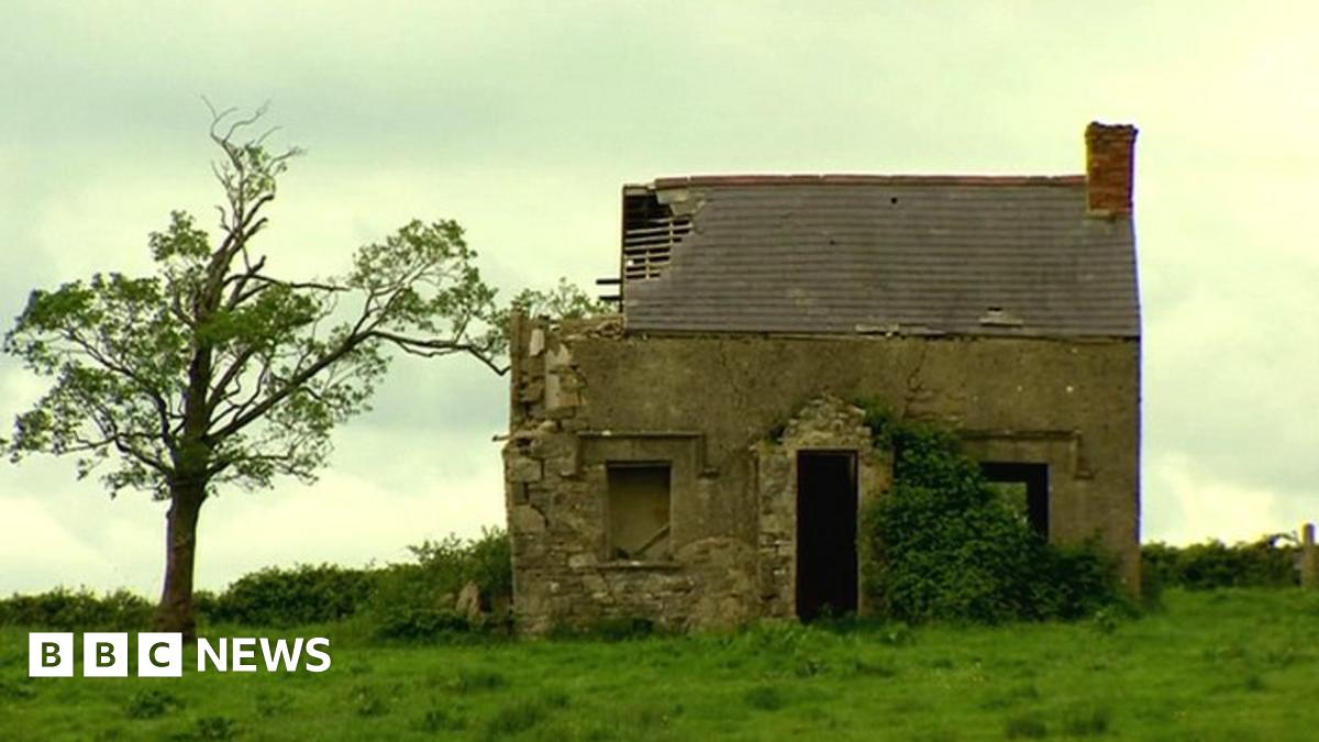 ENCLOSUREENCLOSURE, RATH? · 1367 yd
 Bockan IslandIslet · 1516 yd
 InishcrevanIsland · 1574 yd
 RathArchaeological place · 1.0 mi
 Lady Craigavon BridgeBridge · 1.6 mi
 St. Ninnidh's Rc ChurchChurch · 1.7 mi
 Giant's GraveArchaeological place · 1.7 mi
 Reilly WoodWood · 2.9 mi
 Gole WoodWood · 3.0 mi
 Molly MountainMountain / peak · 3.6 mi
 Inishbeg HillMountain / peak · 4.0 mi
 Inisherk Trail, CromWalking route · 4.1 mi