
What is recorded here
Ooghleo, at the SE end of Inishshark, is a steep-sided dangerous inlet ending in a small cave tied to St Leo, whose name appeared on the 1838 and 1898 Ordnance Survey maps. Tradition holds the saint spent much time in meditation there, and his holy well still marks the eastern side of the inlet. The place is less a building than a wound in the island’s edge: narrow, wet, exposed, and quiet enough for prayer to sound like listening.
At the SE end of Inishshark. Named ‘Ooghleo’ on the 1838 edition and 1898 resurvey of the OS 6-inch map, this consists of a steep-sided and dangerous inlet at the end of which there is a small cave, which is associated with St Leo. According to the Ordnance Survey Letters, the saint is said to have spent much of his time in meditation here (O’Flanagan 1927, Vol. 1, 486). His holy well (GA009D006----) is located on the E side of the inlet.
Compiled by: Olive Alcock
Date of upload: 29 March 2023
The monument record does not grant public access. Check the route and ask the landowner before entering private land.
- What survives
- Recorded monument
Places near here
 MonumentsLeacht · 57 yd
 St. Leos Chapel (in Ruins)Church · 243 yd
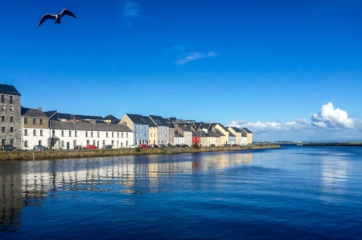 Cross in InishsharkCross · 253 yd
 InishsharkIsland · 1121 yd
 Dun Mor CliffsCliff · 1.2 mi
 West Quarter BeachBeach / strand · 1.7 mi
 CarrickmoreIslet · 1.7 mi
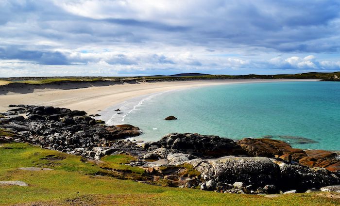 North BeachBeach / strand · 1.9 mi
 PollatlooaCave · 2.0 mi
 Inishbofin Signal TowerRuins · 2.1 mi
 Barrack PointHeadland · 2.2 mi
 Vincent Josef O'HalloranMemorial · 2.4 mi
Other information
Photo: Credit not shown in the picture search · Rights wording not checked; contact us if this picture should be removed