
What is recorded here
Indicated is a ploughed fairy fort in County Cork, a rough circle seventy-seven metres across with three deliberate gaps in its earthen bank. The 1842 survey marked it as a double-walled enclosure, but the second wall has vanished under centuries of cultivation. The gaps may have been entrances, or they may be wounds left by repeated ploughing. What remains is a shallow scar of human ambition, large enough to see and stubborn enough to keep reappearing on every map since.
In tillage. Roughly circular area (77m E-W; 75m N-S) enclosed by earthen bank (H 1.6m); shallow external fosse to E. Gap in bank to NE (Wth 5m), SE (Wth 4.5m) and W (Wth 5m). Interior level and ploughed. Hachured on 1842 OS 6-inch map as bivallate circular enclosure.
The above description is derived from the published 'Archaeological Inventory of County Cork. Volume 2: East and South Cork' (Dublin: Stationery Office, 1994). In certain instances the entries have been revised and updated in the light of recent research.
Date of upload/revision: 14 January 2009
The monument record does not grant public access. Check the route and ask the landowner before entering private land.
- What survives
- Recorded monument
Places near here
 Altar RockMass-rock · 90 yd
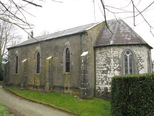 Ballymartle Churchchurch/chapel · 1170 yd
 Church (in Ruins)Church · 1201 yd
 Fulacht fia in FahanalooscaneFulacht fia · 1560 yd
 Dooneen WoodsWood · 1597 yd
 Sunday's WellSpring · 1.0 mi
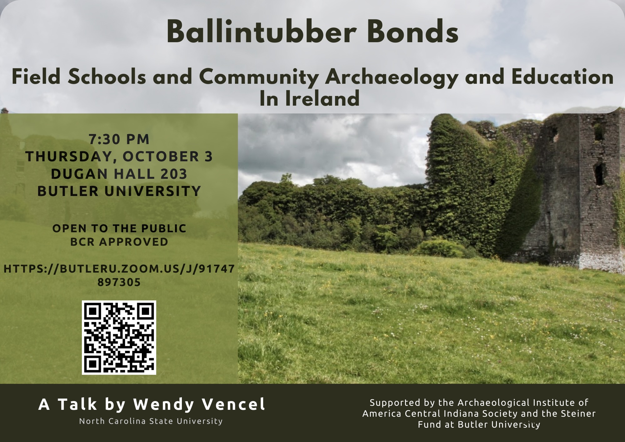 Ballintubber WoodWood · 1.1 mi
 Dinny Barry MemorialMemorial · 1.6 mi
 St Laitiarain's WellSpring · 2.2 mi
 Cullen Castle (Site of)Castle, unclassified · 2.6 mi
 The Stone of DestinyMemorial · 3.5 mi
 CastleCastle, unclassified · 3.8 mi
Other information
Photo: Credit not shown in the picture search · Rights wording not checked; contact us if this picture should be removed