What is recorded here
Mill building depicted on the 1758 John Rocque map of Kilkenny and the 1st ed. (1839) OS 6-inch map, at the rear of 68-69 John Street. The mill is on the N side of the medieval millrace (KK019-026077-) and abuts the NW (internal) face of the town wall (KK019-026001-) of St John's. Archaeological test excavation by Bernice Molloy (01E1031) identified the remains of a mill building comprising a limestone and red brick wall foundation and an upstanding red brick wall which projected from the face of the town wall (Molloy 2001, unpublished; 2003, 215). Much of its fabric remains preserved in situ.
Compiled by: Cóilín Ó Drisceoil
Date of upload: 14 December 2020
The monument record does not grant public access. Check the route and ask the landowner before entering private land.
- What survives
- Recorded monument
Places near here
 Kilkenny County Hallcollege · 50 yd
 1916-2016Memorial · 54 yd
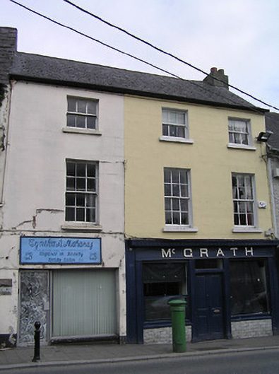 McGrathhouse · 82 yd
 TombTomb, effigial · 133 yd
 Butler GalleryGallery · 162 yd
 Kilkenny County Council Car ParkVisitor information · 196 yd
 O'Loughlin Memorial ChurchMemorial · 210 yd
 Irish River LifeVisitor information · 226 yd
 Boat TripsHeritage attraction · 246 yd
 Almshouse in Gardens (kilkenny City By., St. Mary’s Par.)Almshouse · 331 yd
 CastleCastle, unclassified · 436 yd
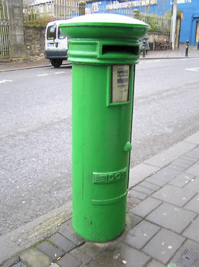 post boxpost box · 87 yd