What is recorded here
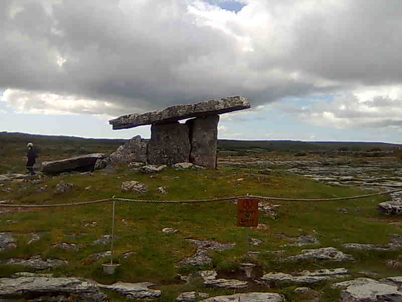
On a slightly raised, natural platform in rough pasture, on high ground (above the 500’ contour) at the E edge of an exposed limestone plateau, commanding panoramic views. Hachured as a circular enclosure on the first edition (1842) of the OS 6-inch map but depicted as subrectangular on the later OS 25-inch plan (1897) and Cassini edition (1920) of the OS 6-inch map. Listed as ‘Rectangular enclosure’ in the RMP (1996). This subrectangular cashel (int. dims. 28.5m NNE-SSW; 25.5m ESE-WNW; ext. dims. 34m NNE-SSW; 30m ESE-WNW) is defined by a stone wall (av. Wth c. 0.85m; av. ext. H c. 0.5m) and associated spill (combined Wth 1.8-2.6m) with outer facing in evidence all around, but of varying construction and states of preservation. On the N side, the wall (ext. H 0.2-0.6m) is overlain by a later, collapsed field wall. Along the E, the wall (Wth 0.85m; ext. H 0.3-1m) is generally built from rough, undressed flat slabs outside which the ground drops steeply (H 1.8m). On the S side, both inner (H 0.8m) and outer (H 0.4-0.9m) wall-facing stones survives. Large flags have fallen out of the wall near the centre of the S side, suggesting a possible stone-lined entrance, although one stone still standing here appears to be a modern feature. Along the W, the wall (ext. H 0.3-0.8m) has an intermittent, loosely built outer facing with a vertical joint near the N end. The grass-covered interior is generally flat and there are two small livestock pens in the NW corner (labelled ‘Sheepfolds’ on the OS 25-inch plan), and a grass-covered wall (L c. 10m) extends NNE-SSW through the S centre. Other grass-covered field walls radiate out from each corner of the cashel. There is a cairn (CL010-051002-) c. 53m to the SSW and a hut site (CL010-267----) c. 69m to the SW.
Compiled by: Gearóid Conroy and Conn Herriott
Date of upload: 31 March 2023
Add the human story, a picture, a first-hand message or a missing place.
Earn 5 points after the picture is checked and accepted.
Add a pictureAdd its storyTalk or ask a questionAdd a new placeThe monument record does not grant public access. Check the route and ask the landowner before entering private land.
Conversation about this place
Questions and messages sit beneath the source record. They are checked before appearing.
No questions or messages yet.
Ask a question or join the conversation