What is recorded here
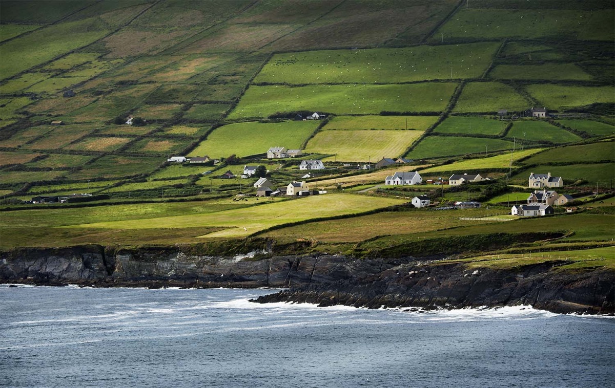
In rush-covered grazing on the lower S-facing slopes of Aghatubride Mountain with views S to Ballinskelligs Bay. A roughly semicircular area (20m N-S) with a straight N side (L 23m) is enclosed by an earthen bank (Wth c. 1.5m; int. H 0.3m; ext. H 0.8m) NE-SE, by a scarp (H 0.7m) SE-SW and by the remains of a bank (Wth 1.6m; int. H 0.2m; ext. H 0.7m) SW-NW. The straight N side is slightly convex and is defined by an earthen bank (Wth 1.6m; int. H 0.95m; ext. H 0.1m) NW-NE, which is cut into the upslope to the N. There are traces of external stone facing on the bank along the E arc; a small stream also flows along this arc. Rushes largely obscure the interior.
The above description is derived from the published 'Archaeological Inventory of County Kerry. Volume I: South-West Kerry' (Dublin: Stationery Office, 2009). In certain instances the entries have been revised and updated in the light of recent research.
Date of upload: 30 May 2011
Add the human story, a picture, a first-hand message or a missing place.
Earn 5 points after the picture is checked and accepted.
Add a pictureAdd its storyTalk or ask a questionAdd a new placeThe monument record does not grant public access. Check the route and ask the landowner before entering private land.
Conversation about this place
Questions and messages sit beneath the source record. They are checked before appearing.
No questions or messages yet.
Ask a question or join the conversation