What is recorded here
Internal diam. 18.5m N-S, 22.4m E-W
This considerably disturbed univallate rath is located in pasture on the crest of a low ridge which overlooks Ballinskelligs Bay to E. The enclosing bank of earth and stone is only extant from NNE to SSW, where it is obscured by field clearance debris and large boulders piled against its outer flank and along its crest. The bank reaches a height of 2.7m and is 4.2m wide at base. A very shallow depression at NE and S, c. 4m wide, suggests the former presence of an external fosse. The bank from SSW to NNE was recently removed, and a laneway skirts the site at W.
Close to the inner face of the bank at S are the denuded remains of a rectangular structure (KE097-006002-), measuring 6.9m x 4.2m internally. The level of its interior averages .4m below the average internal level of the rath. An L-shaped depression, .65m deep and 2.15m wide, occupies the NW quadrant; it extends from NNW to SSE for 5m, then turns at right angles towards NE for 4.8m. It may indicate the location of a dug-out Man-made underground passage (KE097-006001-).
The above description is derived from A. O'Sullivan and J. Sheehan (compilers), 'The Iveragh peninsula: an archaeological survey of South Kerry'. Cork University Press (1996), no. 485. In certain instances the entries have been revised and updated in the light of recent research.
Date of upload: 28 July 2013
The monument record does not grant public access. Check the route and ask the landowner before entering private land.
- What survives
- Recorded monument
Places near here
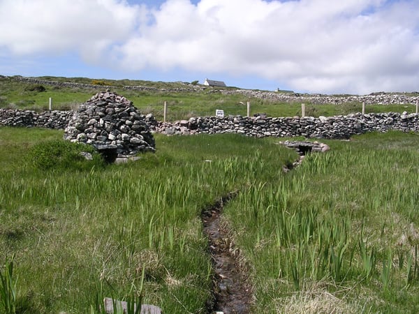 St. Michaels WellHoly well · 1251 yd
 Trá an GhleanntáinBeach / strand · 1554 yd
 Cloch Oghaim/Ogham Stone.Archaeological place · 1679 yd
 Reglaish Church (in Ruins)Church · 1.1 mi
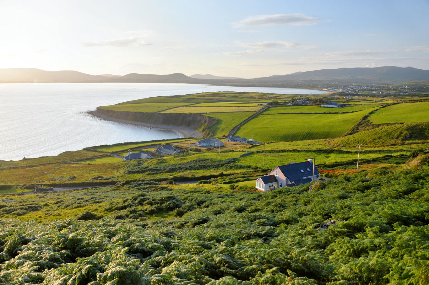 Trá Bhaile an SceilgeBeach / strand · 1.1 mi
 Ballinskelligs Castle (in Ruins)Castle, tower house · 1.2 mi
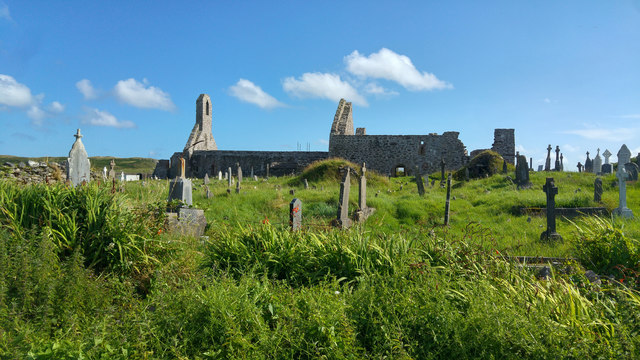 Ballinskelligs PrioryVisitor information · 1.5 mi
 Ballinskelligs Abbey (in ruins)Religious house, Augustinian canons · 1.6 mi
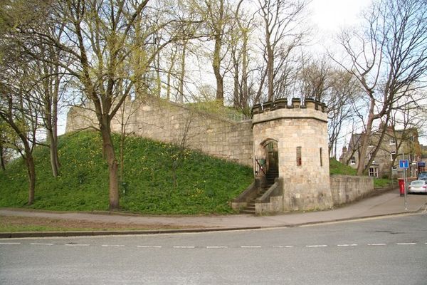 Castle (in Ruins)Castle, tower house · 1.6 mi
 KillurlyMountain / peak · 1.7 mi
 Coastguard Station RuinsRuins · 1.9 mi
 Oileán na gCapallIslet · 2.0 mi