What is recorded here
RATH in Imdel, County Down, Ireland, is a scheduled archaeological site, though no visible monument may remain above ground. The name itself is a clue: a rath is an enclosed place, often circular, built or shaped for defense, residence, or ritual. Under the soil or grass there may still be a bank, ditch, or compacted earth marking the boundary of a life lived there. Imdel gives the rath a region and a history of settlement, while the scheduling acknowledges that the ground still holds something worth protecting.
The official Northern Ireland record identifies this as RATH. Recorded period: E.CHRIST.. Recorded protection: Scheduled. The official map point was placed at the centre of the recorded archaeological site from the source map reference.
The monument record does not grant public access. Check the route and ask the landowner before entering private land.
- What survives
- Recorded monument
Places near here
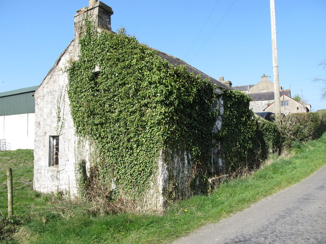 Alice McClory's CottageArchaeological place · 637 yd
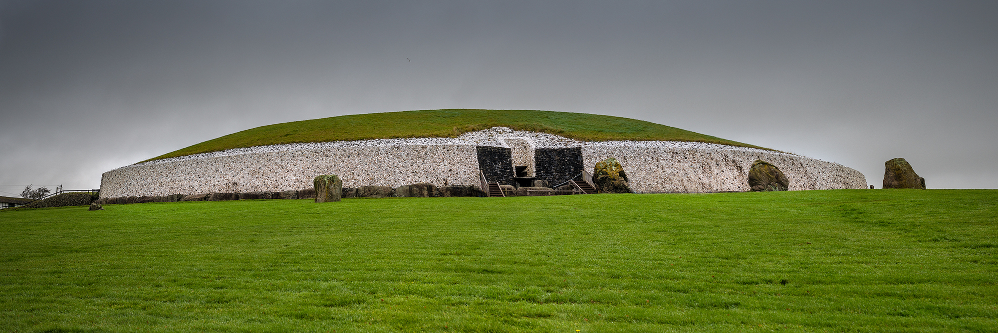 AP Cropmark- Possible enclosure in BallynaskeaghAP Cropmark- Possible enclosure · 1.1 mi
 OuleyMountain / peak · 1.1 mi
 Knockiveagh Picnic SitePicnic place · 1.3 mi
 KnockiveaghMountain / peak · 1.7 mi
 Former Quaker Meeting HouseHall · 3.3 mi
 The Brontë CentreVisitor information · 3.4 mi
 Former Market HouseRecreational Club · 3.5 mi
 TOWER-HOUSE: RATHFRILAND CASTLE in RossconorTOWER-HOUSE: RATHFRILAND CASTLE · 3.6 mi
 CASTLE & RATH reused as BAILEY: SEAFIN CASTLE; Magh Cobha; Moycove in SeafinCASTLE & RATH reused as BAILEY: SEAFIN CASTLE; Magh Cobha; Moycove · 4.1 mi
 Game of Thrones Studio TourHeritage attraction · 4.7 mi
 FE McWilliam Gallery and StudioGallery · 4.7 mi