What is recorded here
About 200m E of KE079-005----, situated on an artificial terrace revetted with drystone masonry on its S side. A pair of circular conjoined huts of corbelled drystone construction.
The E hut KE079-006----measures 3.9m x 3.7m internally and its wall stands to a maximum internal height of 1.2m. An entrance at SE, .8m wide, is marked by a pair of uprights at its inner end. A lintelled passage at W communicates with the W hut and measures .5m high, .5m wide and 1.3m long. This hut, larger than the first, measures 4.3m in internal diameter and has been coniderably modified and rebuilt. The basal courses of three mural chambers along the internal wall-face suggest that these features may be original and that the original entrance may have been at SE. The present entrance is through a gap at N.
The above description is derived from A. O'Sullivan and J. Sheehan (compilers), 'The Iveragh peninsula: an archaeological survey of South Kerry'. Cork University Press (1996), no. 1315. In certain instances the entries have been revised and updated in the light of recent research.
Date of upload: 1 August 2013
The monument record does not grant public access. Check the route and ask the landowner before entering private land.
- What survives
- Recorded monument
Places near here
 SheepfoldHut site · 232 yd
 Killelan MountainMountain / peak · 514 yd
 Promontory fortPromontory fort, coastal · 1375 yd
 Beginish IslandIsland · 1.1 mi
 Church in Beginish (iveragh By.)Church · 1.3 mi
 White Strand BeachBeach / strand · 1.4 mi
 Cromwell PointHeadland · 1.5 mi
 Cromwell Point LighthouseLighthouse · 1.5 mi
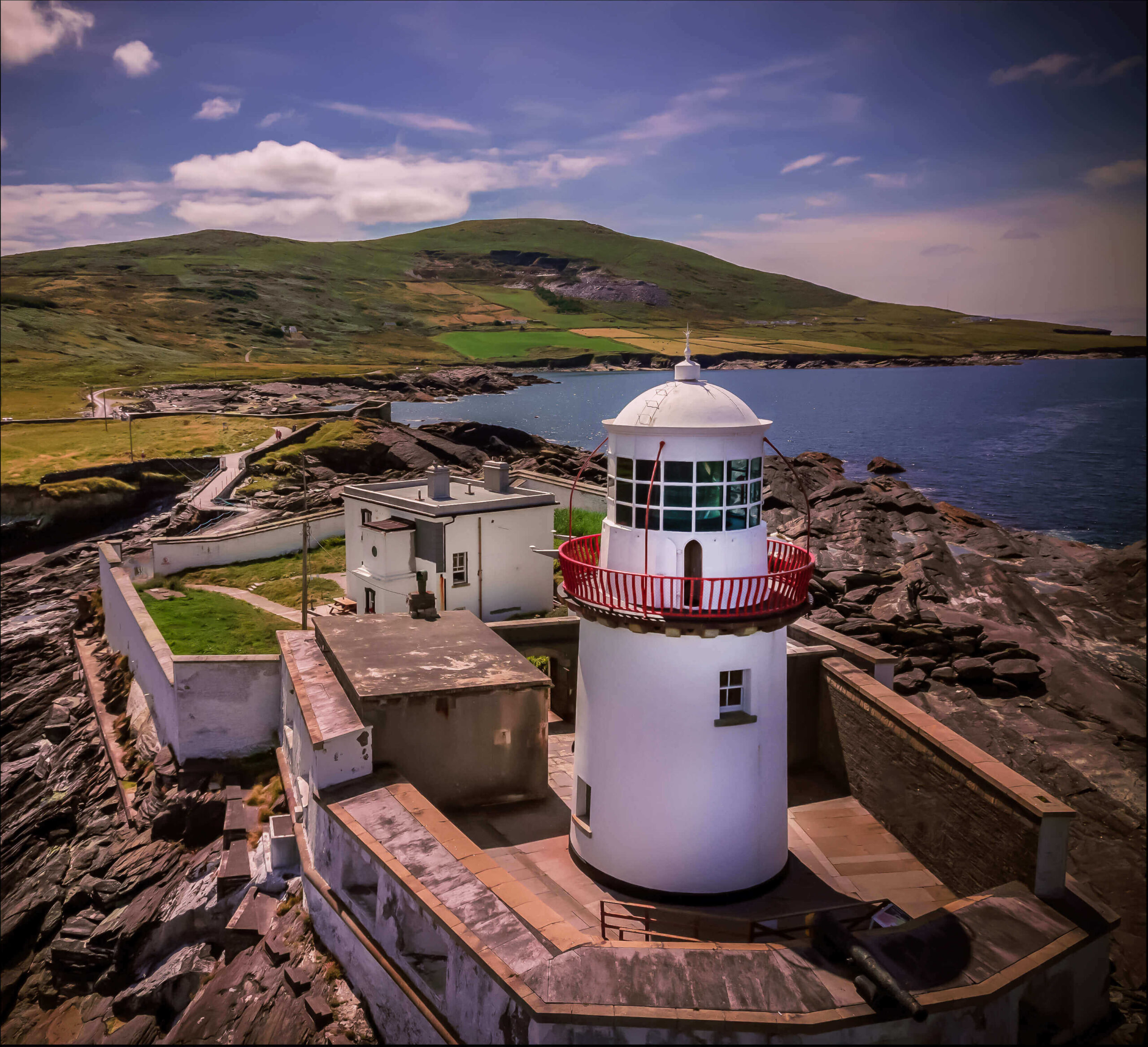 Valentia Island LighthouseMuseum · 1.5 mi
 Norfolk Island AraucariaNorfolk Island Araucaria · 2.0 mi
 Silver tree fernSilver tree fern · 2.0 mi
 Ballycarbery Castle (in ruins)Castle, hall-house · 2.0 mi