What is recorded here
Situated in rough pasture on a ledge (Wth 60m) at the foot of a NW-facing cliff (H 7–8m) overlooking the Caher River and Fanore dunes, near the SW end of a complex of enclosures, field walls and hut-sites (CL001-013001- to CL001-013006-), c. 20m to SW of enclosure CL001-013001-. A figure-of-8 arrangement (int. L 8.2m NNE–SSW) of very large blocks (L 1.2m; H 1m; Wth 0.3m) with sections of collapsed double-walling evident along the S and an occasional second course of smaller blocks laid transversely across the wall line. The larger NNE end (Wth 7.9m) was evidently built onto the smaller SSW end (Wth 4m).
Compiled by: Mary Tunney and Ros Ó Maoldúin
Date of upload: 21 September 2020
The monument record does not grant public access. Check the route and ask the landowner before entering private land.
- What survives
- Recorded monument
Places near here
 garda station/constabulary barracksgarda station/constabulary barracks · 233 yd
 Fanore Bridgebridge · 317 yd
 IndicatedFairy fort / stone ringfort · 347 yd
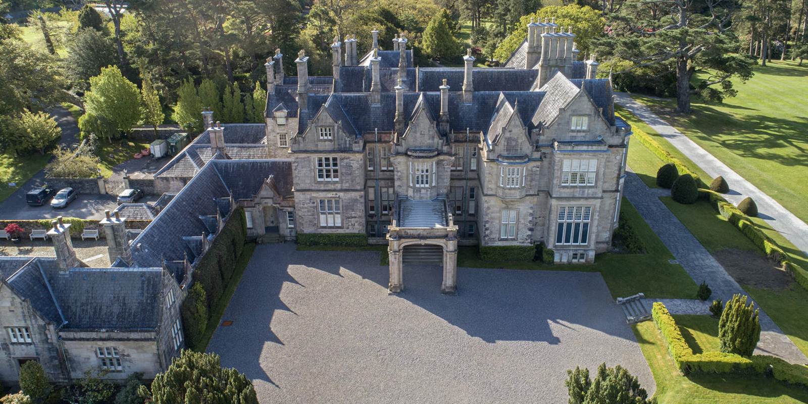 Enclosure in MurrooghkillyEnclosure · 874 yd
 Fanore BeachBeach / strand · 1161 yd
 Faunarooska Castle (in ruins)Castle, tower house · 2.1 mi
 Black HeadHeadland · 2.2 mi
 FaunarooskaCave · 2.6 mi
 Slieve ElvaMountain / peak · 2.7 mi
 PollbailinyCave · 2.8 mi
 Gleninagh CastleCastle · 3.0 mi
 CappanawallaMountain / peak · 3.2 mi