What is recorded here
Top of the hill, inside the ringfort, a rectangular hut shadow holds the children’s burial ground. Grass still marks its east-west wall, while the western slope bends into the chamber like a hand pulling the room closed. The ringfort entered the world as a home or stronghold, then turned into a place where small lives were returned to earth. That change is not a mistake; it is the property speaking.
Ringfort (KE049-025001-) reused as a children's burial ground (KE049-025001-) was described in 1986 by the Castleisland District Archaeological Survey as follows; 'Situated on top of a hill in an area of pasture. The interior of the ringfort was reused as a children's burial ground (KE049-025002-). Rectangular-shaped structure [dims. 13.2m N-S x 13m E-W) site located immediately inside the south side of the E entrance to the ringfort. Grass-covered wall running roughly east west for a distance of c. 6m is located 2.4m inside the south side of the eastern entrance. The "wall" appears to run into a slope on the west, this slope appears to form the western side of this structure. It slopes "into" the structure itself. The feature measures 13.2m from north to south, i.e. from the mid top of the bank on the south to the mid top of the wall on the north. The width of the feature measures c. 13m, i.e. measured from the mid top of the bank on the east to the top of the slope on the west' (SMR File).
See attached plan of possible structure, surveyed and drawn by the Castleisland District Archaeological Survey
Compiled by: Caimin O'Brien based on details provided by the Castleisland District Archaeological Survey
Date of upload: 21 April 2022
The monument record does not grant public access. Check the route and ask the landowner before entering private land.
- What survives
- Recorded monument
Places near here
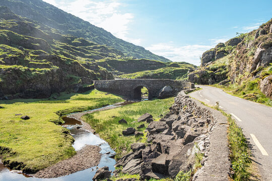 Man-made underground passage in Dromultan (trughanacmy By., Killeentierna Ed)Man-made underground passage · 1051 yd
 Man-made underground passage in BawnaskehyMan-made underground passage · 1532 yd
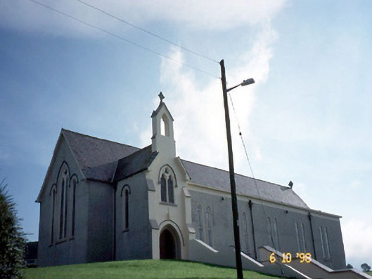 Catholic Church of Our Lady of Lourdeschurch/chapel · 1.2 mi
 Kilsarkan Church (in ruins)Church · 1.7 mi
 SlievebrickanMountain / peak · 1.8 mi
 Ballyplimoth CastleCastle · 3.4 mi
 Castle (in ruins)Castle, Anglo-Norman masonry castle · 3.5 mi
 Crag CaveCave · 4.5 mi
 Barna BogForest · 5.3 mi
 Mount EagleMountain / peak · 5.8 mi
 Famine MemorialMemorial · 8.8 mi
 GinkgoGinkgo · 8.9 mi