What is recorded here
Situated in the centre of a rough pasture field. A possible standing stone (WM017-114----) lies c. 70m to NW. Not depicted on the 1837 ed. OS 6-inch map or the revised 1913 ed. OS 25-inch map. Described by the Forest Service in 2006 as a sub-rectangular shaped area (approx. overall dims. 8.5m NNE-SSW x 8m WNW-ESE) enclosed by an earth and stone bank (H 0.7m). The bank is retained in places on the interior by large flags and boulders. An entrance is located on the N side. Monument is visible as a roughly circular-shaped area of differential growth located within the exclusion zone of a forestry plantation, as seen on Digital Globe aerial photography.
See attached sketch plan of the hut site submitted by the Forest Service.
Compiled by: Alison McQueen, Vera Rahilly and Caimin O’Brien
Date of upload: 10 January 2019
The monument record does not grant public access. Check the route and ask the landowner before entering private land.
- What survives
- Recorded monument
Places near here
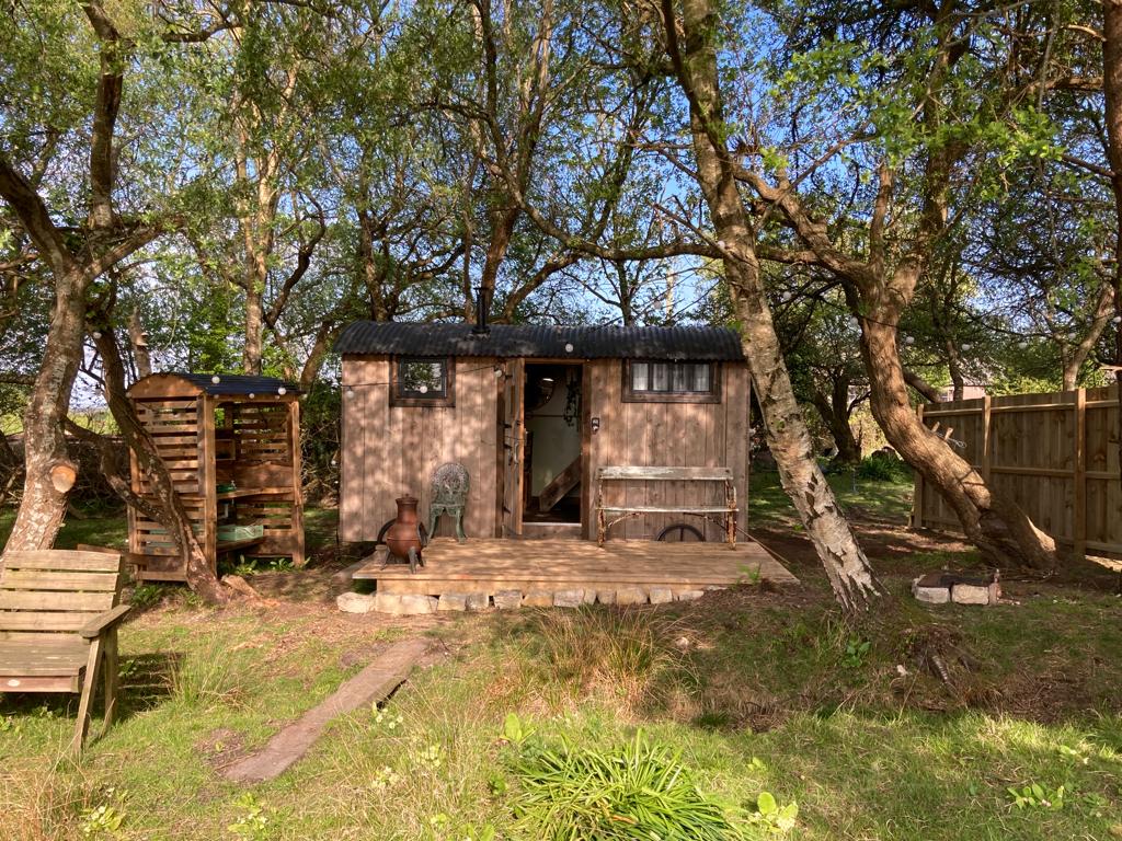 Hut site in CorkanHut site · 107 yd
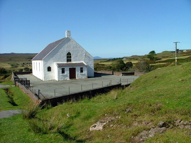 Site of ChurchChurch · 279 yd
 Saint Mary's Catholic Churchchurch/chapel · 709 yd
 Milltown Castle in ruinsCastle, unclassified · 1108 yd
 Rathcastle Househouse · 1486 yd
 Ancient Ring FortWood · 1.1 mi
 RathconrathCastle, motte · 1.7 mi
 Sessile OakSessile Oak · 4.0 mi
 Abbeyshrule AbbeyRuins · 4.9 mi
 Craft WorkshopHeritage attraction · 6.2 mi
 Guest ServicesVisitor information · 6.3 mi
 Goldsmith Birthplace, PallasVisitor information · 6.4 mi