What is recorded here
Located in the centre of the interior of Colgagh rath (SL015-041001-). Slightly raised square area (dims. 3.8m WNW-ESE; 3.9m ENE-WSW) enclosed by a low narrow bank of earth and stone (Wth 0.6m; int. H 0.1m; ext. H 0.5m). At the external foot of the bank are a fosse (Wth 0.55m) and an external bank of earth and stone (Wth 0.75m; int. H 0.2m; ext. H 0.1m). The internal bank is absent NW-NE and the monument is defined by a scarp (ext. H 0.4m). The fosse encloses the site on all sides, being best preserved NE-NW. The external earth and stone bank encloses the site E-NW with only very slight traces visible SE-NW. The original entrance is not recognisable.
Compiled by: Patrick F. O'Donovan
Date of upload: 21 April 2011
The monument record does not grant public access. Check the route and ask the landowner before entering private land.
- What survives
- Recorded monument
Places near here
 Church (in Ruins), Cloghermore grave Yd.Church · 497 yd
 Chapel (in Ruins)Church · 661 yd
 CashelFairy fort / stone ringfort · 823 yd
 Giants GraveCourt tomb · 1284 yd
 Court Tomb TrailWalking route · 1605 yd
 Legganore BayBay · 1.2 mi
 Swan IslandIslet · 1.5 mi
 Annagh IslandIsland · 1.5 mi
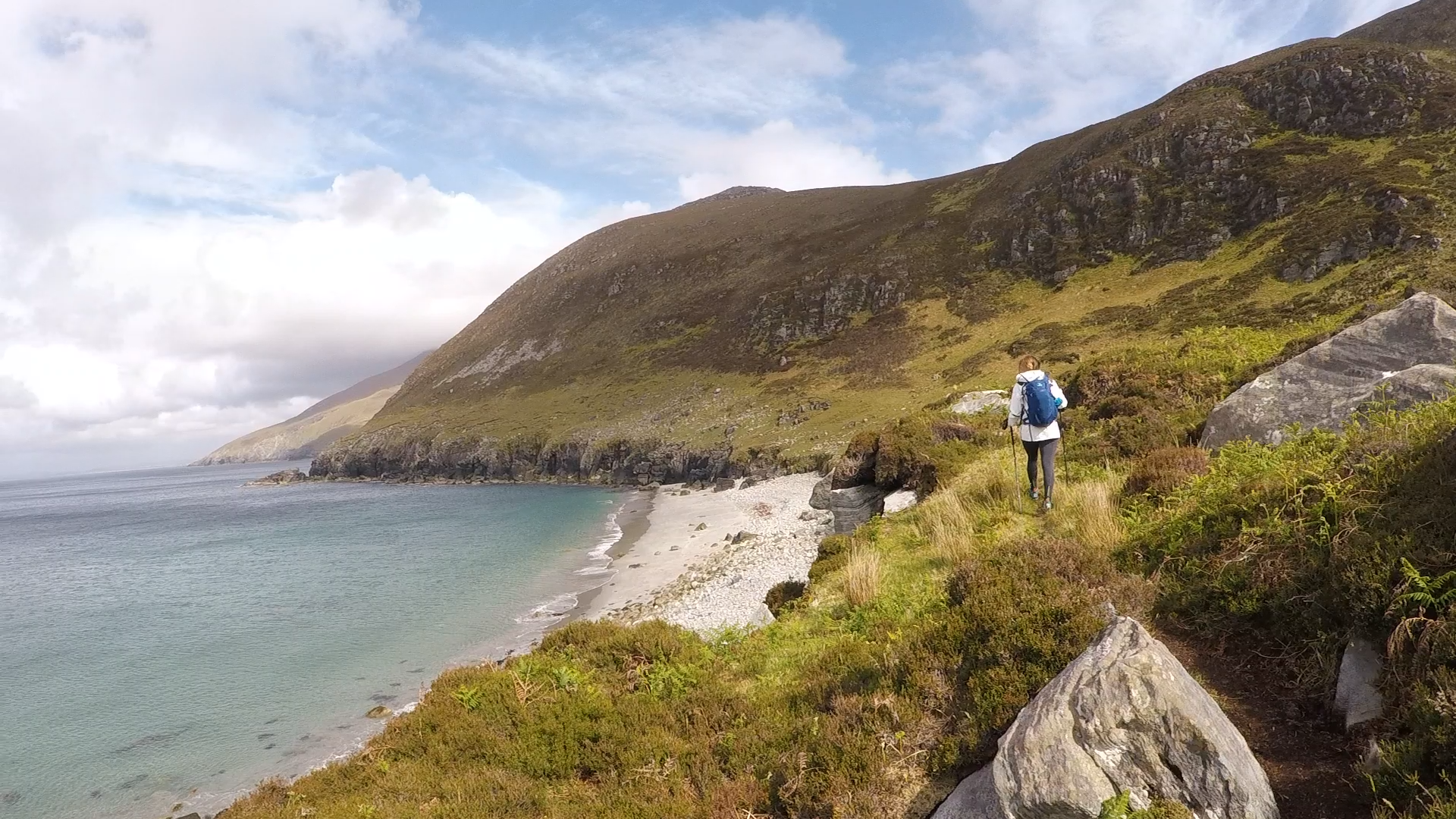 Annagh BayBay · 1.5 mi
 Castle PointCastle, unclassified · 1.6 mi
 HazelwoodWood · 1.9 mi
 Holm OakHolm Oak · 2.0 mi