What is recorded here
Ardfert Oughter holds a circular ringfort where two fieldbanks still touch its eastern and western edges. Inside the northern sector, two stone house sites sit directly above matching depressions, suggesting people built, lived and left behind shapes the earth still remembers. The clear bank and measured rooms point to a small, definite household rather than a vague shadow.
Situated SW of KE020-064---- in the same field, two fieldbanks touch KE020-063---- on the E and W side. This circular univallate ringfort is enclosed by a well-defined earth and stone bank.
In the N sector of the interior is an oval shaped house site (KE020-063001-) constructed of stone;
About 2m to the W of this lies a sub-oval house site (KE020-063002-) 3.8m N-S and 4m E-W; the walls here are also .6m-1m thick. Situated directly below the two stone structures are two depressions measuring 4m x 4.8m and 4.8m x 4.6m.
The above description is derived from C. Toal, ‘North Kerry Archaeological Survey’. Dingle. Brandon in association with FAS Training and Employment Authority (1995), no. 668. In certain instances the entries have been revised and updated in the light of recent research.
Date of upload: 2 August 2013
The monument record does not grant public access. Check the route and ask the landowner before entering private land.
- What survives
- Recorded monument
Places near here
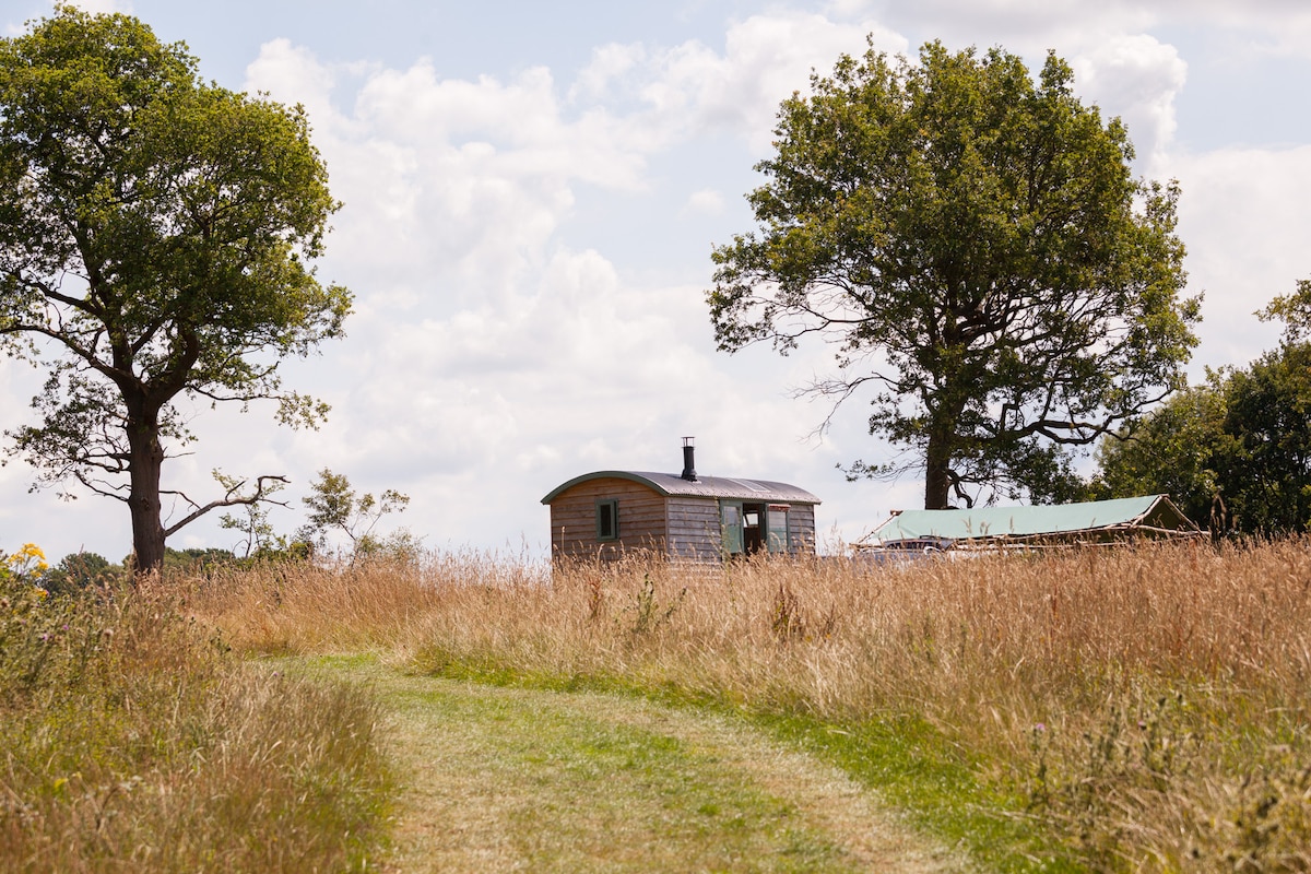 Hut site in Ardfert OughterHut site · 1 yd
 Enclosure in Ardfert OughterEnclosure · 220 yd
 Saint Brendan's Catholic Churchchurch/chapel · 1313 yd
 Talbot-Crosbie Memorial Fountainmonument · 1487 yd
 Statue of Roger CasementMemorial · 1541 yd
 Ardfert CathedralHeritage attraction · 1588 yd
 15th Centenary of the birth of St-BredanMemorial · 1595 yd
 CastleCastle, unclassified · 1618 yd
 Rathoneen Castle (remains of)Castle · 1.1 mi
 Ardfert FriaryVisitor information · 1.2 mi
 Ardfert Franciscan FriaryVisitor information · 1.2 mi
 CloghnacroustaNamed rock · 1.9 mi