
What is recorded here
Situated on undulating well drained grassland with good views of the surrounding countryside. The river which forms the boundary with townland of Sheepstown is 75m to S. Ringfort (WM008-067---) 375m to SE. Ringfort (WM008-068---) 330m to S. A hut site, visible as a rectangular shallow depression aligned NW-SE can be seen in the NE quadrant of a ringfort (WM008-066----).
Compiled by: Frank Coyne and Caimin O'Brien
Date of upload: 21 April 2017
The monument record does not grant public access. Check the route and ask the landowner before entering private land.
- What survives
- Recorded monument
Places near here
 Brownstown OldSettlement cluster · 1157 yd
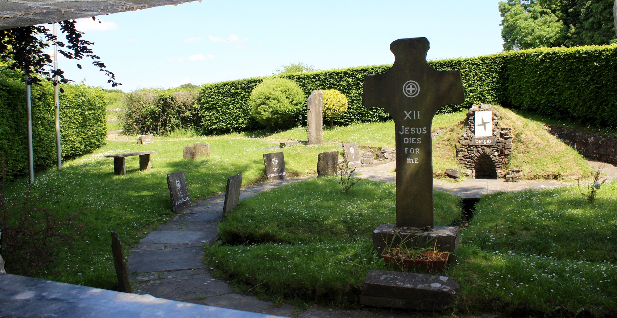 Ecclesiastical enclosure in ArcherstownEcclesiastical enclosure · 1287 yd
 Archerstown Church in ruinsChapel · 1295 yd
 Bawn in ArcherstownBawn · 1340 yd
 Bawn in Scurlockstown (delvin By.)Bawn · 1.0 mi
 Corn MillMill, unclassified · 1.2 mi
 The FurzeForest · 1.6 mi
 The Sloe HillMountain / peak · 2.5 mi
 Kells HillMountain / peak · 2.8 mi
 Bradley's WoodWood · 2.8 mi
 Castle IslandIslet · 4.8 mi
 South East GateHeritage attraction · 5.0 mi
Other information
Photo: Credit not shown in the picture search · Rights wording not checked; contact us if this picture should be removed