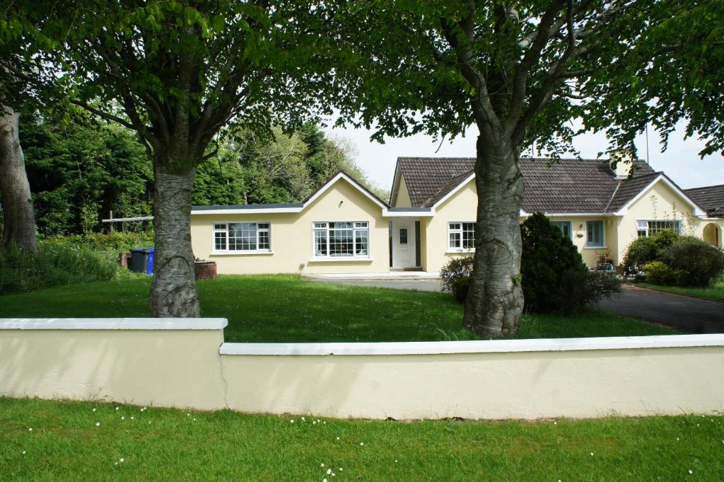
What is recorded here
Situated on a slight natural rise surrounded by hilly grass-land. Ringfort (WM008-039---) 70m to SE. A raised sub-rectangular shaped area long axis WNW-ESE, enclosed by a grass-covered bank and traces of an outer bank and fosse at N. The monument is divided internally by an earthen bank which has gaps which may represent doorways. Appears to be the grass-covered remains of a rectangular house of unknown antiquity.
Compiled by: Frank Coyne and Caimin O'Brien
Date of upload: 19 April 2017
The monument record does not grant public access. Check the route and ask the landowner before entering private land.
- What survives
- Recorded monument
Places near here
 IndicatedEnclosure · 154 yd
 Brownstown OldSettlement cluster · 1029 yd
 Bawn in Scurlockstown (delvin By.)Bawn · 1567 yd
 The FurzeForest · 1598 yd
 Archerstown Church in ruinsChapel · 1.2 mi
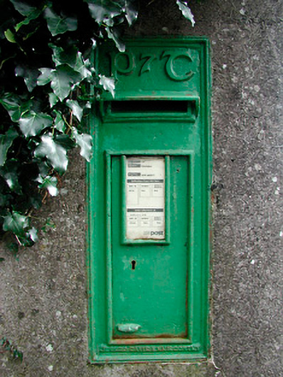 post boxpost box · 1.3 mi
 The Sloe HillMountain / peak · 1.4 mi
 Bawn in ArcherstownBawn · 1.4 mi
 Noggin HillMountain / peak · 2.1 mi
 Bradley's WoodWood · 2.5 mi
 Castle IslandIslet · 4.0 mi
 South East GateHeritage attraction · 4.0 mi
Other information
Photo: Credit not shown in the picture search · Rights wording not checked; contact us if this picture should be removed