
What is recorded here
In the SE sector of the Botanic Gardens, adjacent to Botanic Road. A composite Down Survey map (1657 Down Survey maps which are overlain on later OS 6-inch sheets) held in the National Library of Ireland (NLI) records ‘Mr Suroge’s House’ and depicts a large gabled structure. No longer extant, it appears to have stood on or close to the site now occupied by a gate lodge. (The parish maps of the Down Survey for the County of Dublin by W. Petty (1657). Copied by Daniel O’Brien. A set of 42 maps with accompanying terriers, copied in 1786-7. sources.nli.ie/Record/MS_UR_051117)
Compiled by: Geraldine Stout
Updated by: Gearóid Conroy
Date of upload: 25 November 2021
The monument record does not grant public access. Check the route and ask the landowner before entering private land.
- What survives
- Recorded monument
Places near here
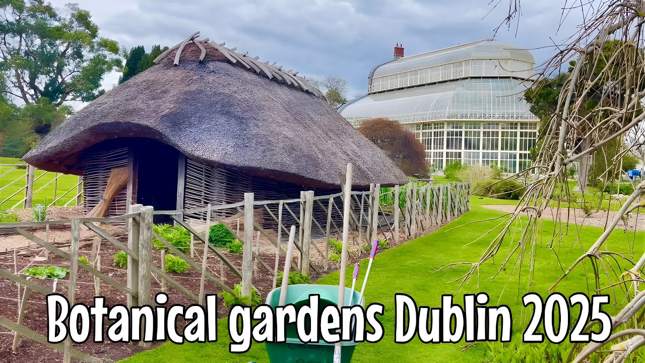 Glasnevin VillageVisitor information · 34 yd
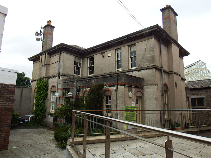 National Botanic Gardens (Teagasc College)house, office · 42 yd
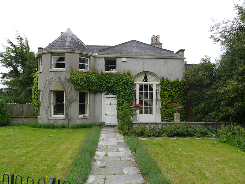 National Botanic Gardens (Director's Residence)house · 73 yd
 Tree of HeavenTree of Heaven · 131 yd
 Caucasian zelkovaCaucasian zelkova · 165 yd
 Reconstructed viking houseHeritage attraction · 175 yd
 National Botanic GardensHeritage attraction · 262 yd
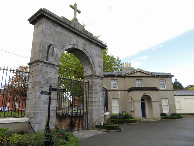 Glasnevin cemetery Ireland's necropolisVisitor information · 300 yd
 IndicatedHoly well · 322 yd
 Burial in Unknown TownlandBurial · 337 yd
 Republican plotMemorial · 529 yd
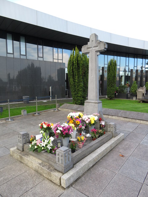 Michael CollinsMemorial · 552 yd
Other information
Photo: Credit not shown in the picture search · Rights wording not checked; contact us if this picture should be removed