What is recorded here
Depicted as a gabled house on the Down Survey barony map of South Liberties (Hib. Reg.) and annotated 'Parke House' on the Down Survey parish map of St. Patrick's (NLI, MS 718). The Record of Monuments and Places (RMP) suggested that the site of Park House shown on the 1840 ed. OS 6-inch map may have been the site of the Down Survey house. However the scale of the Down Survey map is insufficient to precisely locate this building without supporting archaeological remains. The precise location of this medieval house depicted on the Down Survey barony map remains unlocated.
See attached Down Survey map of the barony of South Liberties and parish map of St Patrick's.
Compiled by: Alison McQueen, Vera Rahilly and Caimin O'Brien
Date of upload: 23 June 2020
The monument record does not grant public access. Check the route and ask the landowner before entering private land.
- What survives
- Recorded monument
Places near here
 CastleCastle, unclassified · 1 yd
 Six Gun BatteryMonument · 124 yd
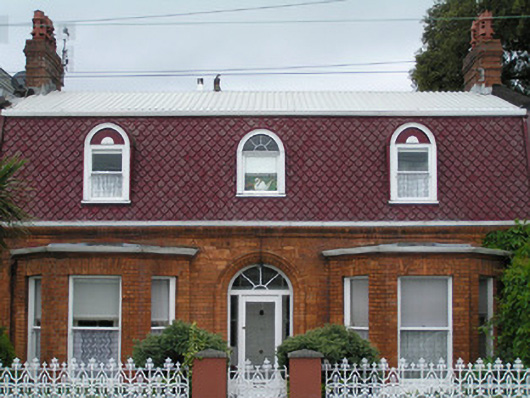 Les Charmilleshouse · 126 yd
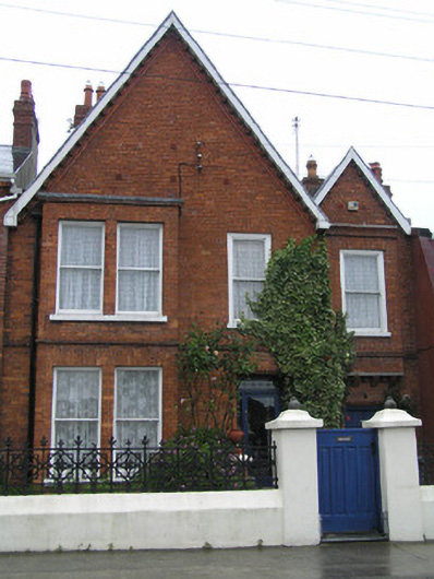 Mignonhouse · 129 yd
 Anthony Foley MemorialMemorial · 135 yd
 Curragower FallsWaterfall · 140 yd
 Heritage FountainMonument · 185 yd
 Hunt MuseumMuseum · 214 yd
 Siege of Limericksiege · 319 yd
 Shannon IslandIslet · 320 yd
 The Treaty StoneMemorial · 321 yd
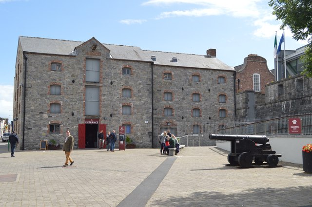 King John's Visitor's CentreMuseum · 333 yd