What is recorded here
The Urban Survey of Westmeath (Bradley et. al. 1985, 120) recorded that the extent of the Dominican priory (WM019-089004-) in 1548 mentions 'an old hospital now thrown down' in a field called 'Spyttelfield', then owned by the Dominicans (White 1943, 290-1). This was presumably located in the adjoining townland of Spittlefield located northeast of the town, perhaps in the vicinity of the present Mullingar Mental Hospital (Lee 1974-5, 227).
Compiled by: Caimin O'Brien
Date of upload: 27 June 2014
The monument record does not grant public access. Check the route and ask the landowner before entering private land.
- What survives
- Recorded monument
Places near here
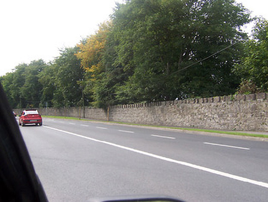 Saint Loman's Hospitalgates/railings/walls · 395 yd
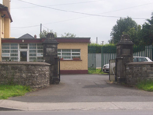 Acorn Lodgegates/railings/walls · 421 yd
 Partially indicatedFairy fort / earthen ringfort · 944 yd
 Augustinian Monks Memorial StatueMemorial · 1314 yd
 Town defences in MullingarTown defences · 1358 yd
 Petits Castle Mote & Mill (Site of)Castle, unclassified · 1684 yd
 Mullingar Cathedral MuseumMuseum · 1696 yd
 The Chimera GalleryGallery · 1724 yd
 Famine MemorialMemorial · 1.0 mi
 CastleCastle, unclassified · 1.0 mi
 Saint Brigid's WellSpring · 1.6 mi
 Long PlantingForest · 2.4 mi