What is recorded here
In S part of the island c. 130m E of the signal tower (GA089-013----). Known locally as Tobar Cholmcille, it consists of a round pothole in a rock cleft which leads up a small fault-scarp. The saint's footprints are pointed out in the scarp face to N of the well, and to S of it is a broad band of whitish porphyry (a quartz dyke) called Bóthar na Naomh: this is the road the saints took in marching out to Oileáin Árainn (info. T. Robinson). Not visited.
The above description is derived from the published 'Archaeological Inventory of County Galway Vol. I - West Galway'. Compiled by Paul Gosling (Dublin: Stationery Office, 1993).
Date of upload: 05 August 2010
Linked to St. Columba (Colmcille), the well is associated with early Christian pilgrimage and is named after the saint, who is said to have visited the site. Local tradition mentions the presence of the saint's footprints in the rock, adding to its spiritual significance.
The monument record does not grant public access. Check the route and ask the landowner before entering private land.
- What survives
- Recorded monument
Places near here
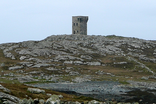 TowerSignal tower · 148 yd
 Holy well in Leitir MealláinHoly well · 775 yd
 An Tóin DubhHeadland · 854 yd
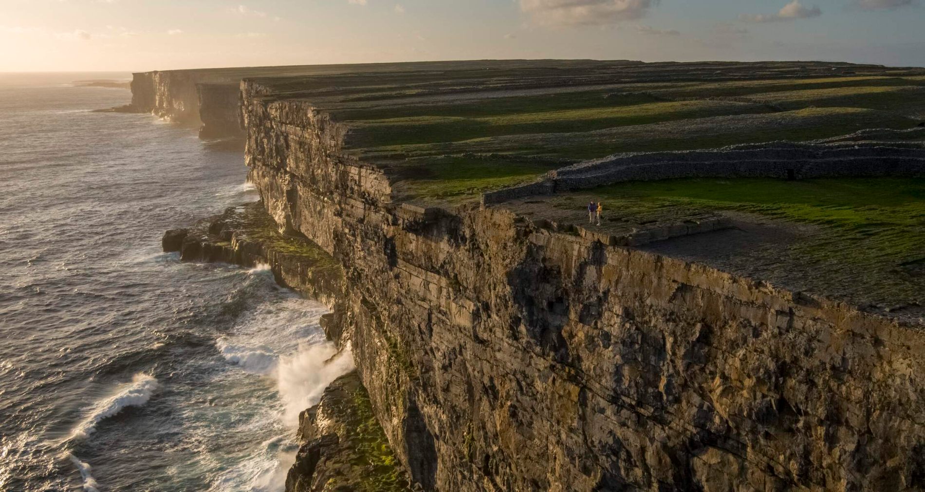 Fraochoileán MórIslet · 877 yd
 Fraochoileán BeagIslet · 1487 yd
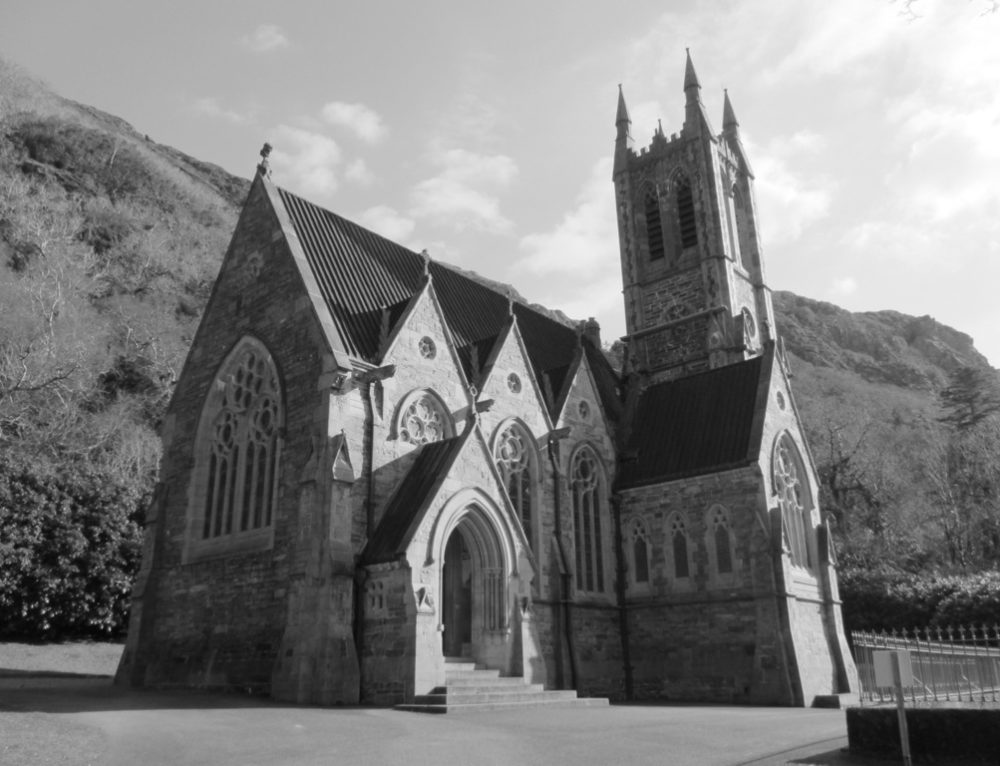 R. C. Chapel (in ruins)Chapel · 1.6 mi
 Ionad Oidhreachta Leitir MealláinMuseum · 1.6 mi
 Séipéal Réalt na Mara [Catholic Church of the Star of the Sea]church/chapel · 1.7 mi
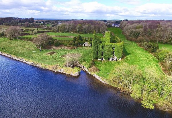 Castle (in ruins)Castle, unclassified · 2.0 mi
 Cnoc FionnMountain / peak · 2.8 mi
 Cora na hAirde MóireHeadland · 4.3 mi
 CastleCastle, unclassified · 4.8 mi