What is recorded here
Archaeological monitoring (15E0577) by P. Duffy, D. Bayle and J. Whitaker of topsoil stripping over a large area (c. 92 ha.) conducted intermittently between Dec. 2015 and October 2018 uncovered 37 locations of potential archaeological importance (excavations.ie 2016:051). Each of these was further investigated by the same archaeologists under different licences. At Site 37, excavation under the original monitoring licence (15E0577) recorded two pits. An oval trough (dims 0.94m x 0.64m; max. D 0.1m) was filled with two layers of grey to black silty and stony clays. A larger pit (dims 1.4m x 1.1m; D 0.3m) just 2m to the E also had two layers of grey to black silty and stony clays. Charcoal analysis recorded ash as the most common, but alder, hazel, fruitwood, oak and blackthorn were also present. A sample of hazel from the upper fill of the trough provided a C14 date of 2127-1899 cal. BC (FMTC-BD08-17), placing it in the Early Bronze Age. (Duffy et. al. 2021, 16-17)
Compiled by: Michael Moore
Date of upload: 26 April, 2023
Duffy, P., Fairhead, S. & F. Fleeshouven 2021 Final Excavation Report for Sites 3-37, Clonee, Portan, Gunnocks, Co. Meath. Multiple licences, Unpublished report, Irish Archaeological Consultancy
The monument record does not grant public access. Check the route and ask the landowner before entering private land.
- What survives
- Recorded monument
Places near here
 Ring-ditch in PowerstownRing-ditch · 1259 yd
 Enclosure in PowerstownEnclosure · 1334 yd
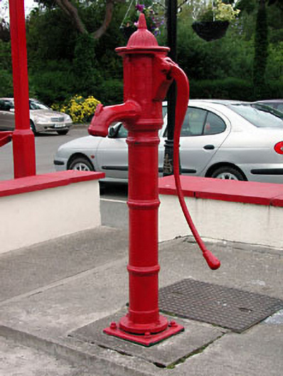 water pumpwater pump · 1588 yd
 Church in Clonee (dunboyne By.)Church · 1641 yd
 TyrrelstownWood · 1.2 mi
 Graveyard in BuzzardstownGraveyard · 1.5 mi
 Blanchardstown Centre information deskVisitor information · 2.2 mi
 Church, GraveyardChurch · 2.3 mi
 Wesley's WoodsWood · 2.3 mi
 Kilbride MoatCastle, motte · 3.0 mi
 Luttrellstown CastleCastle · 3.0 mi
 Saint Wolstan'sHeritage attraction · 6.3 mi