What is recorded here
Encompassing the summit and slopes of a small hill, overlooking the valley of the Castlebar River.
On the 1838 OS 6-inch map the perimeter of the graveyard is indicated by a dashed line enclosing a roughly circular area (diam. c. 60m), with the round tower (MA088-144002-) and church (MA088-144001-) located roughly in the centre; the delimited area appears to have encompasses the core part of the hill. By the time of the 1920 edition a rectangular extension (35m N−S; c. 40m E−W) had been added to the N side, and since then further expansion has taken place, and the early graveyard is now subsumed into the present day large rectangular walled graveyard, which is surrounded by a mortared stone wall, with a cement wall on the W side where the graveyard is bordered by a road. Access is through two wrought iron gates in the W wall. Headstones and graveslabs of 17th-, 18th- and 19th-century date are terraced into the hill slopes. A 19th-century grave plot, with wrought-iron surround, abuts the N wall of the N transept. Clusters of small, low uninscribed stone gravemarkers are evident amongst the formal graves, particularly to the W and S of the church. Burials of 20th-century date and later date are concentrated on the lower slopes to N and S.
Attached images:
MA070-144008-_01 Graveyard from N
MA070-144008-_02 Graves terraced into the slope
MA070-144008-_03 19th-century burial plot
MA070-144008-_04 18th-century headstone
MA070-144008-_05 19th- and 20th-century headstones within the church
Compiled by: Jane O'Shaughnessy
Date of upload: 15 December 2020
The monument record does not grant public access. Check the route and ask the landowner before entering private land.
- What survives
- Recorded monument
Places near here
 TowerRound tower · 10 yd
 Abbey in RuinsReligious house, unclassified · 24 yd
 Holy WellHoly well · 135 yd
 bridgebridge · 292 yd
 CastleCastle, unclassified · 415 yd
 National Museum of Ireland, Country LifeMuseum · 484 yd
 Sunken GardenWood · 653 yd
 Oak WoodWood · 916 yd
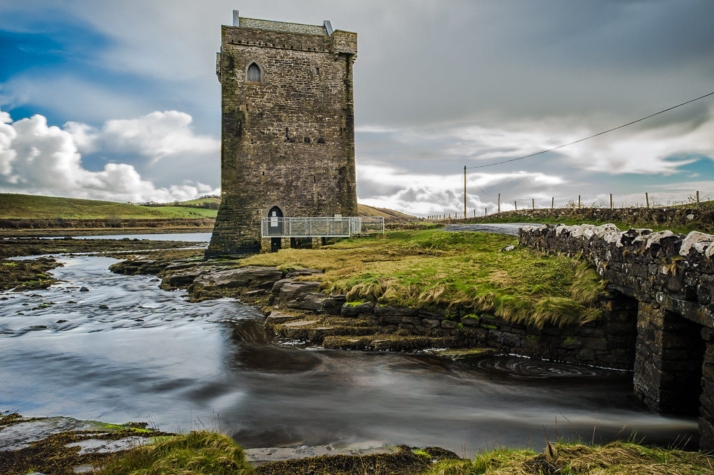 Moyhenna Castle in ruinsCastle, unclassified · 1.5 mi
 Michael DavittMemorial · 3.9 mi
 Battle of CastlebarMajor battlefield · 4.1 mi
 Saint John Baptist de La SalleMemorial · 4.3 mi