What is recorded here
The official Northern Ireland record identifies this as BURNT MOUND. Recorded period: E.CHRIST.; UNCERTAIN. The official map point was placed at the centre of the recorded archaeological site from the source map reference.
A burnt mound; date uncertain but likely from the Neolithic or Bronze Age. Its significance lies in providing evidence of prehistoric domestic or ritual activity, though specific function remains unclear.
The monument record does not grant public access. Check the route and ask the landowner before entering private land.
- What survives
- Recorded monument
Places near here
 RathArchaeological place · 285 yd
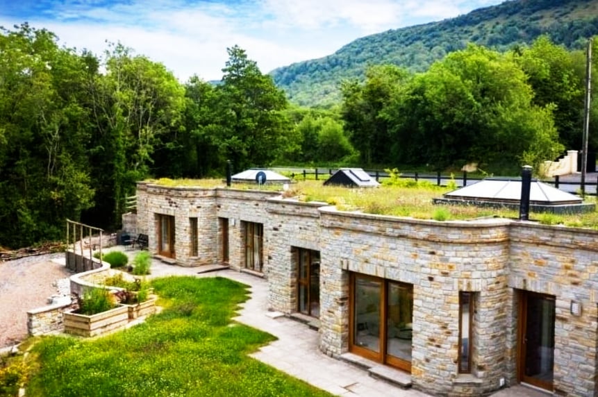 ENCLOSURE in DresternanENCLOSURE · 1019 yd
 St. Ninnidh's Rc ChurchChurch · 1.5 mi
 Trasna IslandIsland · 1.6 mi
 Bockan IslandIslet · 1.7 mi
 Lady Craigavon BridgeBridge · 1.9 mi
 Giant's GraveArchaeological place · 2.1 mi
 Gole WoodWood · 2.6 mi
 Reilly WoodWood · 2.6 mi
 Molly MountainMountain / peak · 3.3 mi
 FormilMountain / peak · 3.4 mi
 Inisherk Trail, CromWalking route · 3.8 mi