What is recorded here
Indicated is a small stone ringfort in County Cavan, Ireland, where a narrow drystone wall still encloses a circular space about twenty-five metres across. Its southern entrance and two large western stones hint that people once lived, worked or hid inside the fort while the land around it changed. The fort has no grand monument or modern sign to explain itself, but its shape preserves the practical logic of a household built to resist weather, danger and forgetting.
Marked 'Fort' on OS 1836 and 1876 eds. Circular area (int. diam. c. 25m) enclosed by a narrow drystone wall. Original entrance was probably at S. Part of the enclosed area is at a lower level than the external ground level. Along the internal face of the wall at W there are two large stones which may represent the remains of a house site.
The above description is derived from the published 'Archaeological Inventory of County Cavan' (Dublin: Stationery Office, 1995). In certain instances the entries have been revised and updated in the light of recent research.
Date of upload/revision: 22 December 2008
The monument record does not grant public access. Check the route and ask the landowner before entering private land.
- What survives
- Recorded monument
Places near here
 Giant's GraveArchaeological place · 501 yd
 Enclosure in MullaghahyEnclosure · 571 yd
 Giants GraveFairy fort / stone ringfort · 611 yd
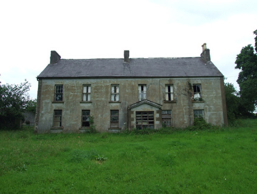 Upper Thornhill Househouse · 699 yd
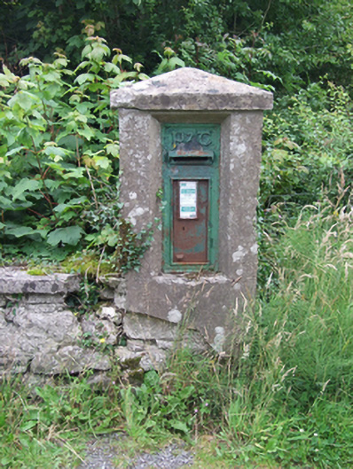 post boxpost box · 863 yd
 Port IslandCastle, Anglo-Norman masonry castle · 1.0 mi
 Tuam IslandIslet · 1.0 mi
 Kilrooscagh IslandIslet · 1.3 mi
 BarranMountain / peak · 1.4 mi
 Lough MacNean WalkWalking route · 1.7 mi
 CorrevanMountain / peak · 1.8 mi
 Teampull RuisínHeritage attraction · 2.3 mi