What is recorded here
Indicated is a small rectangular enclosure on a Kerry ridge, overlooking Kenmare Bay and marked in local tradition as a burial place for unbaptized infants. Its east and south edges still show large slabs set on edge beside bare rock, while newer walls complete the rest. The shape is not a grand fortress but a quiet boundary, the kind of place where grief may have been carried to stone instead of spoken.
KE106-080---- is located in rough pasture, on the S side of a ridge, overlooking Kenmare Bay to S. It is noted in the OSRNB as a 'small enclosure used for the burial of unbaptized infants', and survives as KE106-080004-, a rectangular area which measures 20.5m NW-SE x 27.5m NE-SW. It is generally enclosed by modern walls, except at E and S, where it is defined by large slabs set on edge and outcrops of rock, respectively.
The above description is derived from A. O'Sullivan and J. Sheehan (compilers), 'The Iveragh peninsula: an archaeological survey of South Kerry'. Cork University Press (1996), no. 1016. In certain instances the entries have been revised and updated in the light of recent research.
Date of upload: 30 July 2013
The monument record does not grant public access. Check the route and ask the landowner before entering private land.
- What survives
- Recorded monument
Places near here
 Man-made underground passage in Gort Na CilleMan-made underground passage · 19 yd
 Cave (1846).Man-made underground passage · 91 yd
 Trá An Ráth / Rath BeachBeach / strand · 535 yd
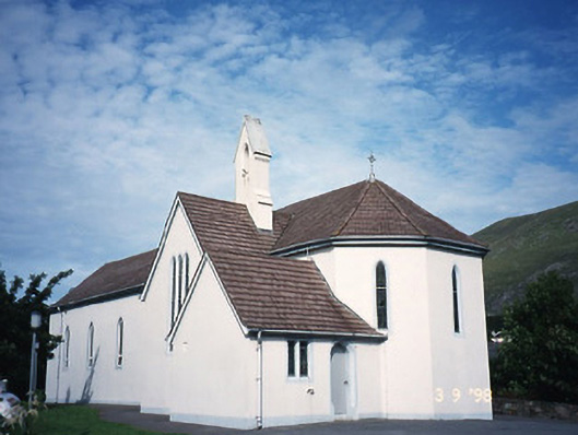 Saint Crohan's Catholic Churchchurch/chapel · 1232 yd
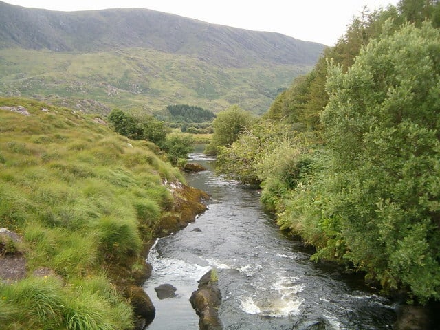 Eagle HillMountain / peak · 1239 yd
 MineMine, copper · 1267 yd
 Ogham StoneVisitor information · 1553 yd
 Trá an Ghleanna Bhig / Glanbeg BeachBeach / strand · 1698 yd
 Derrynane House / Teach Dhoire FhionáinHeritage attraction · 1.2 mi
 Páirc Náisiúnta Stairiúil Dhoire Fhíonáin / Derrynane National Historic ParkNature reserve · 1.3 mi
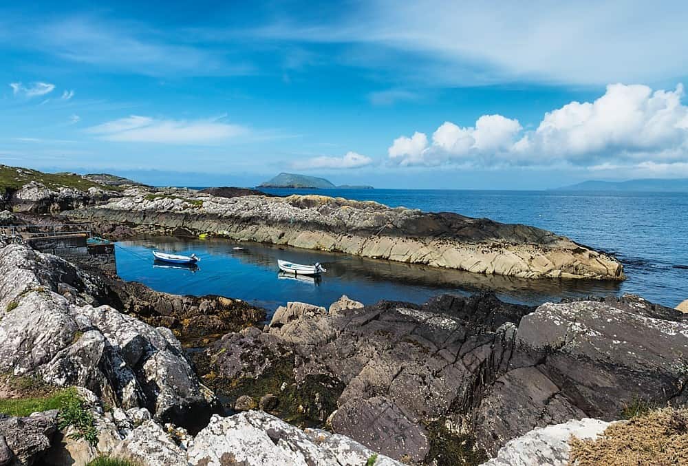 Lamb's Head HillMountain / peak · 1.7 mi
 Abbey IslandIslet · 1.9 mi