What is recorded here
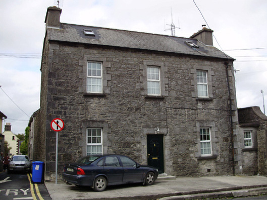
Detached three-bay two-storey house, built c.1850, with abutting former outbuilding to east elevation, and extension to rear. Pitched slate roof with rendered chimneystacks, recent rooflights, and cast-iron rainwater goods. Exposed rubble limestone walls with dressed quoins, one to west corner having incised Ordnance Boundary mark. Square-headed window openings with cut limestone block-and-start surrounds, tooled limestone sills and replacement uPVC windows. Square-headed door opening with tooled limestone lintel, replacement uPVC door, and render steps.
This building is notable for its good quality limestone masonry and details. In 1837, Lewis's Topographical Survey reported that "Barracks have existed at Gort for a very long period, and £7000 have been lately expended in building houses for officers and store-rooms; they will now accommodate 8 officers, 88 men, and 116 horses." The form and position of this building suggests it may be one of the buildings to which he refers.
This does not grant access. Most recorded buildings are privately owned; view them only from public ground unless the owner allows entry.
Places near here
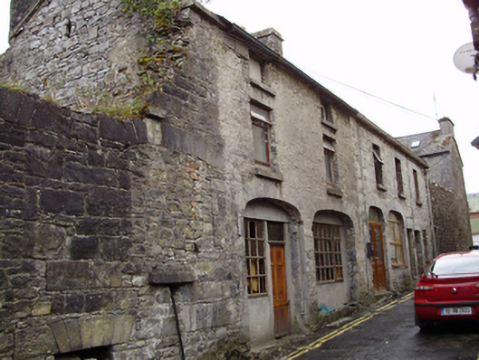 stablesstables · 23 yd
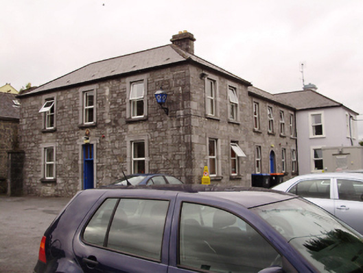 Gort Garda Síochána StationRIC barracks · 26 yd
 Cavalry Bks on Site of Gort CastleCastle, unclassified · 63 yd
 Tobermacduagh or Cloghannanack WellHoly well · 868 yd
 Man-made underground passage in BallylennanMan-made underground passage · 1327 yd
 Kiltartan Castle (in ruins)Castle, Anglo-Norman masonry castle · 1.7 mi
 Holm OakHolm Oak · 1.7 mi
 Coole ParkWood · 1.9 mi
 Castle IslandIsland · 2.4 mi
 Holly IslandIslet · 2.8 mi
 Kilmacduagh Monastic SiteVisitor information · 3.1 mi
 Kilmacduagh MonasteryHeritage attraction · 3.2 mi
Other information
Photo: National Inventory of Architectural Heritage · Website use allowed for educational or private purposes with source credit