What is recorded here
On a gentle E facing slope of hill with good views to the N and E. Ringfort (WM033-055----) located 185m to the W. Circular-shaped area (diam. 52m N-S; 62m E-W) defined by a substantial earth and stone bank and wide flat-bottomed fosse with traces of a low external bank only visible at ENE. There are several small gaps along the inner bank due to livestock. A gap (Wth 1.6m) in the bank at E may be the original entrance feature.
Compiled by: Caimin O’Brien
Date of upload: 26 July 2013
The monument record does not grant public access. Check the route and ask the landowner before entering private land.
- What survives
- Recorded monument
Places near here
 Partially indicatedFairy fort / earthen ringfort · 359 yd
 Fairy fort / ringfort in GneevebaneFairy fort / ringfort · 649 yd
 CastleCastle, hall-house · 1234 yd
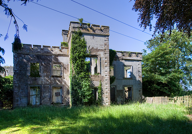 Newcastle Househouse · 1256 yd
 Swiss Cottagehouse · 1491 yd
 Tyrrellspass CastleCastle, tower house · 1.6 mi
 Derrygreenagh HillMountain / peak · 3.9 mi
 Ardan WoodWood · 4.6 mi
 Cruil HillMountain / peak · 4.7 mi
 Croghan HillMountain / peak · 4.7 mi
 Finnrenashark Holy WellSpring · 4.9 mi
 Croghan Hill WalkVisitor information · 5.0 mi