What is recorded here
Mature barley and rapeseed now hide the fort, but local memory places its loss around 1974 when a farm machine cut through the bank. The fort stood east of Glenfield House, facing the Awbeg River, large enough for a household and proud enough to resist forgetting. It is gone from the field, yet it remains visible in the stories told beside that river.
In tillage field, to E of Glenfield House, overlooking Awbeg River to E. Depicted as hachured circular enclosure on 1842 OS 6-inch map; as hachured circular raised area (diam. c. 45m) on 1905 and 1936 OS 6-inch maps. Mature crop in field on date of visit; according to local information, levelled c. 1974. Possibly single-ramparted fort (diam. 41yd) recorded by Bowman (1934, 624-5) on Mrs Sharpe's land; bank 5 to 8ft H and fosse 3ft D.
The above description is derived from the published 'Archaeological Inventory of County Cork. Volume 4: North Cork' (Dublin: Stationery Office, 2000). In certain instances the entries have been revised and updated in the light of recent research.
Date of upload/revision: 14 January 2009
The monument record does not grant public access. Check the route and ask the landowner before entering private land.
- What survives
- Recorded monument
Places near here
 Enclosure in Glenfield SouthEnclosure · 492 yd
 Enclosure in RockspringEnclosure · 580 yd
 Liscarroll CastleCastle · 1322 yd
 Battle of LiscarrollMajor battlefield · 1409 yd
 Ch (in Rns)Church · 1450 yd
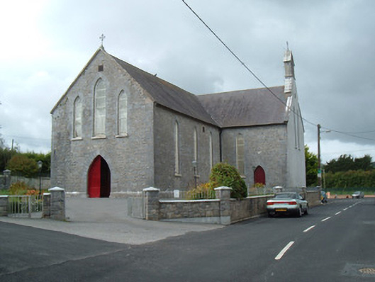 Saint Joseph's Churchchurch/chapel · 1459 yd
 Castle (Site of)Castle, unclassified · 2.4 mi
 Windmill HillMountain / peak · 3.0 mi
 Churchtown TrailsVisitor information · 3.7 mi
 Lady's WellSpring · 3.9 mi
 Ballyhoura WayWalking route · 4.3 mi
 National Co-op MuseumMuseum · 6.2 mi