
What is recorded here
Hump-backed road bridge (Wth c. 3.75m; long axis ENE-WSW) over River Funshion; overlooked by Glanworth Castle (14328). Random-rubble limestone construction; piers built on rock outcrops in river's bed. Thirteen semicircular arches, generally increasing in width and size towards centre; rough limestone voussoirs; low pointed cutwaters on upstream side only. Span of arches range from14ft->17ft 6in, and width of piers from 5ft->7ft 6in (O'Keeffe & Simington 1991, 168). Random-rubble parapet wall with remains of vertical stone coping. Bridge traditionally dated to 1446, though O'Keeffe & Simington (ibid., 166) could find no direct evidence for this date. This bridge is atypical of pre-15th century multi-span bridges in Ireland which have pointed segmental arches and level roadways; however, O'Keeffe and Simington (ibid., 171) conclude that a mid-15th century date as likely as any other for this bridge.
The above description is derived from the published 'Archaeological Inventory of County Cork. Volume 4: North Cork' (Dublin: Stationery Office, 2000). In certain instances the entries have been revised and updated in the light of recent research.
Date of upload/revision: 14 January 2009
The monument record does not grant public access. Check the route and ask the landowner before entering private land.
- What survives
- Recorded monument
Places near here
Glanworth Bridgebridge · 1 yd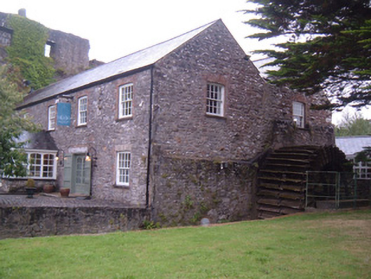 Glanworth Millmill (water) · 67 yd
 Glanworth CastleCastle · 107 yd
 Glanworth Castle (in Ruins)Castle, Anglo-Norman masonry castle · 111 yd
 St Dominick's WellSpring · 259 yd
 Graveyard in BoherashGraveyard · 338 yd
 Grave Yd (Site of)Graveyard · 437 yd
 Hut site in BoherashHut site · 439 yd
 Blackwater (Avondhu) WayWalking route · 3.9 mi
 Flat cemetery in Ballyenahan NorthFlat cemetery · 4.1 mi
 Johnson's WoodForest · 4.2 mi
 Priest's WoodForest · 4.4 mi
Other information
Photo: E Turk · CC BY-SA 4.0