What is recorded here
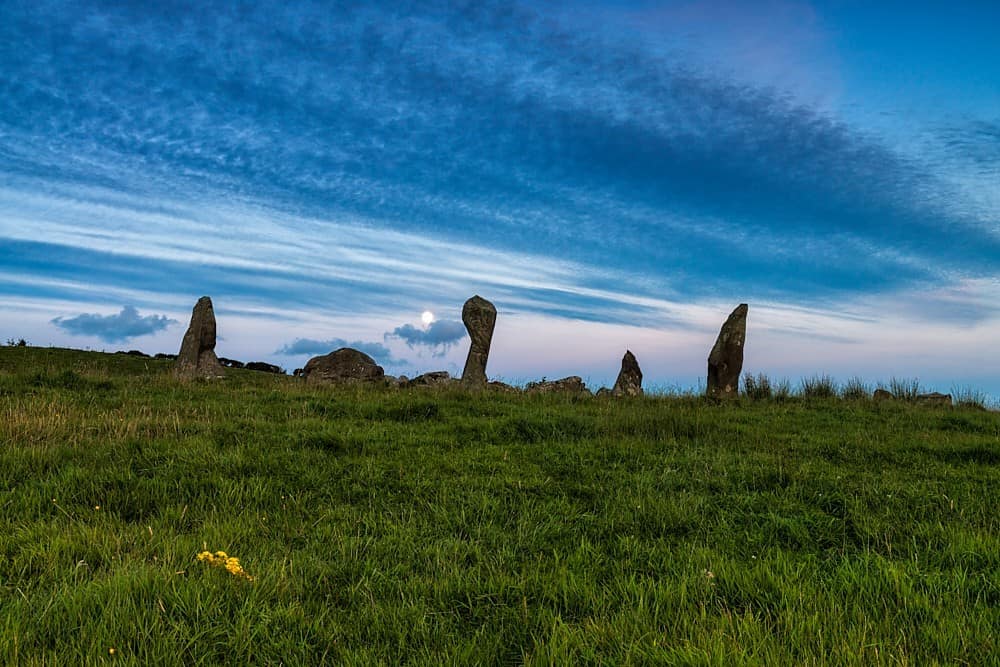
Two stones stand in open pasture south of the ridge between the Glashagloragh and Argideen rivers. One rises a metre high beside the axial stone of a five-stone circle, the other crouches 0.95m high six and a half metres west. They mark a line stretching northeast to southwest across grass that has swallowed every other witness. Whoever set them believed the sky could be measured from that spot, and the field still holds the shape of their certainty.
In level pasture land S of crest ridge between valleys of Glashagloragh river to N, Argideen river to S. Stone (H 1m; 0.7m x 0.3m) stands c. 3.5m SW of axial stone of five-stone circle (CO121-059001-); long axis NE-SW. Second stone (CO121-059003-) (H 0.95m; 0.8m x 0.5m) 6.5m to W. (O Nualláin 1984, No. 170).
The above description is derived from the published 'Archaeological Inventory of County Cork. Volume 1: West Cork' (Dublin: Stationery Office, 1992). In certain instances the entries have been revised and updated in the light of recent research.
Date of upload/revision: 14 January 2009
Probably dating to the Late Neolithic or Bronze Age, this standing stone may have been part of a ritual or ceremonial landscape associated with the nearby stone circle. Its alignment and positioning suggest possible astronomical or territorial significance, though specific folklore or use remains unrecorded.
The monument record does not grant public access. Check the route and ask the landowner before entering private land.
- What survives
- Recorded monument
Places near here
 Stone circle ( Glanbrack )Archaeological place · 45 yd
 Stone Circle ( Maulathanavalla )Archaeological place · 849 yd
 Flax MillMill, flax · 1151 yd
 KilnKiln, lime · 1371 yd
 Jeremiah O'Donovan RossaMemorial · 1.5 mi
 Cross commemorating Holy Day.Memorial · 1.9 mi
 CarrigfaddaMountain / peak · 2.0 mi
 Ballinvard CastleCastle · 3.0 mi
 Clasharusheen Mansion (Site of)Castle, unclassified · 3.3 mi
 Michael Collins BirthplaceHistoric birthplace · 3.8 mi
 Mohona WoodWood · 4.4 mi
 Corran HillMountain / peak · 5.5 mi