What is recorded here
Indicated is a fairy fort in County Cork, Ireland. It occupies a circular pasture area thirty-six to thirty-seven metres across on a southwest-facing slope. A low scarp and shallow fosse surround most of the circle, leaving gaps to the east and south. The shape suggests human craft, yet local tradition assigns it to fairies, preserving the strange boundary between making and inhabiting.
In pasture on SW-facing slope. Circular area (36m N-S; 37m E-W) enclosed by field fence S->E; scarp (H 1.4m) E->S. Shallow fosse (D 0.6m) outside scarp. Gaps to E (Wth 3.5m) and S (Wth 2m).
The above description is derived from the published 'Archaeological Inventory of County Cork. Volume 1: West Cork' (Dublin: Stationery Office, 1992). In certain instances the entries have been revised and updated in the light of recent research.
Date of upload/revision: 14 January 2009
The monument record does not grant public access. Check the route and ask the landowner before entering private land.
- What survives
- Recorded monument
Places near here
 Stone circle ( Glanbrack )Archaeological place · 528 yd
 Flax MillMill, flax · 659 yd
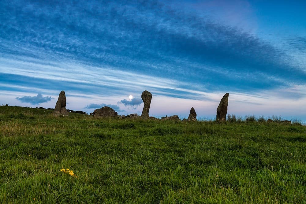 Stone Circle ( Maulathanavalla )Archaeological place · 789 yd
 KilnKiln, lime · 1156 yd
 Jeremiah O'Donovan RossaMemorial · 1.3 mi
 Cross commemorating Holy Day.Memorial · 1.7 mi
 CarrigfaddaMountain / peak · 1.8 mi
 Ballinvard CastleCastle · 3.2 mi
 Castle SalemCastle · 3.3 mi
 Michael Collins BirthplaceHistoric birthplace · 3.7 mi
 Mohona WoodWood · 4.6 mi
 Corran HillMountain / peak · 5.7 mi