
What is recorded here
Garrylucas East appeared on the 1842 Ordnance Survey map as a compact settlement in County Cork, though time has stripped most of its life away. Overgrown stone ruins now crowd the southern end, one house still wearing a mud gable like a forgotten skin, while a single long structure at the northern edge remains occupied. The place holds the quiet danger of disappearing, preserving only enough shape to remind us that many people once called it home before the green swallowed their walls.
On 1842 OS 6-inch map as compact settlement, named Garrylucas East. Overgrown ruins of stone-built houses at S end; one with gable of mud. Only one house at N end of settlement still occupied; long 1-storey gable-ended structure.
The above description is derived from the published 'Archaeological Inventory of County Cork. Volume 2: East and South Cork' (Dublin: Stationery Office, 1994). In certain instances the entries have been revised and updated in the light of recent research.
Date of upload/revision: 14 January 2009
The monument record does not grant public access. Check the route and ask the landowner before entering private land.
- What survives
- Recorded monument
Places near here
 post boxpost box · 311 yd
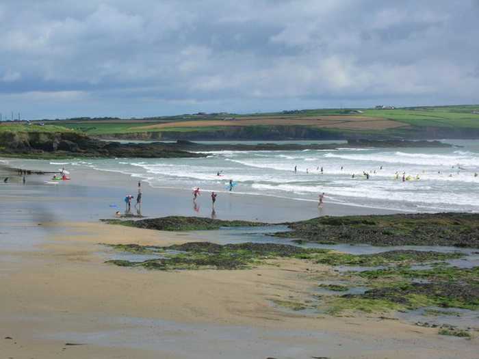 Garrylucas, White StrandBeach / strand · 474 yd
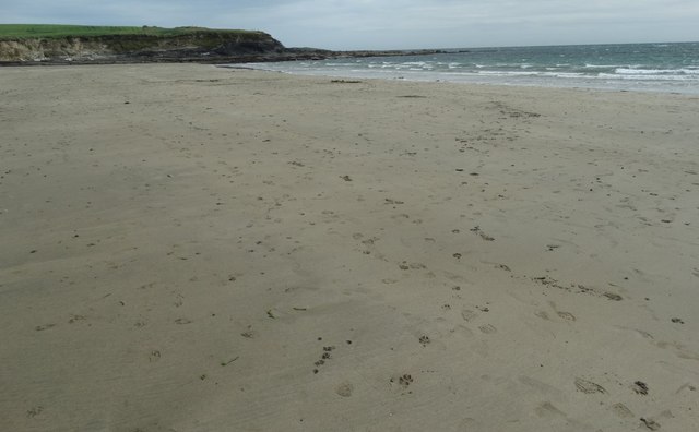 White StrandBeach / strand · 533 yd
 Fulacht fia in Lispatrick LowerFulacht fia · 792 yd
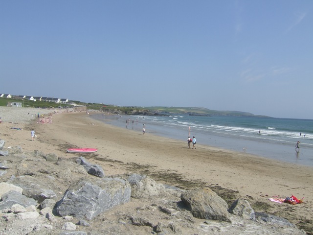 Garretstown StrandBeach / strand · 909 yd
 Old Head of Kinsale National Schoolschool · 962 yd
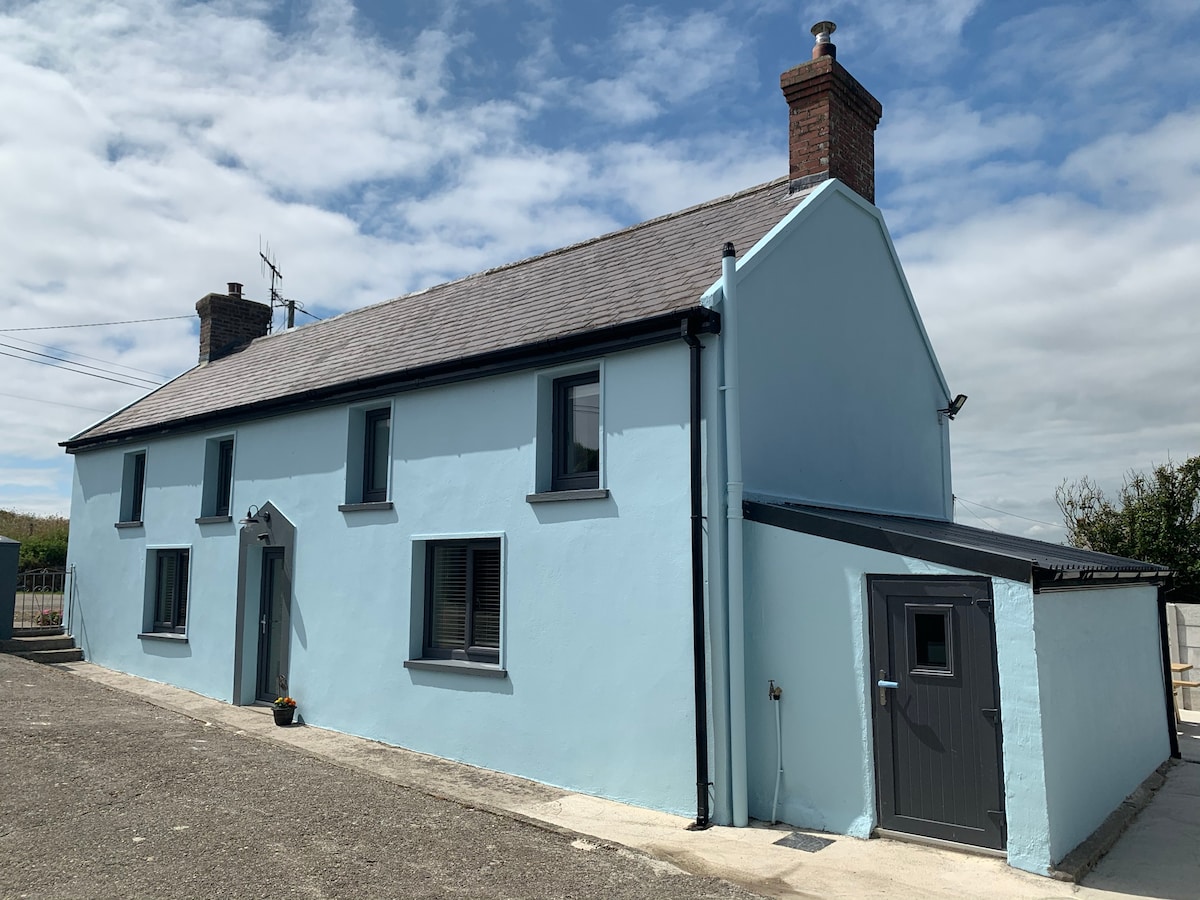 Burial in Lispatrick LowerBurial · 976 yd
 New WoodWood · 1.7 mi
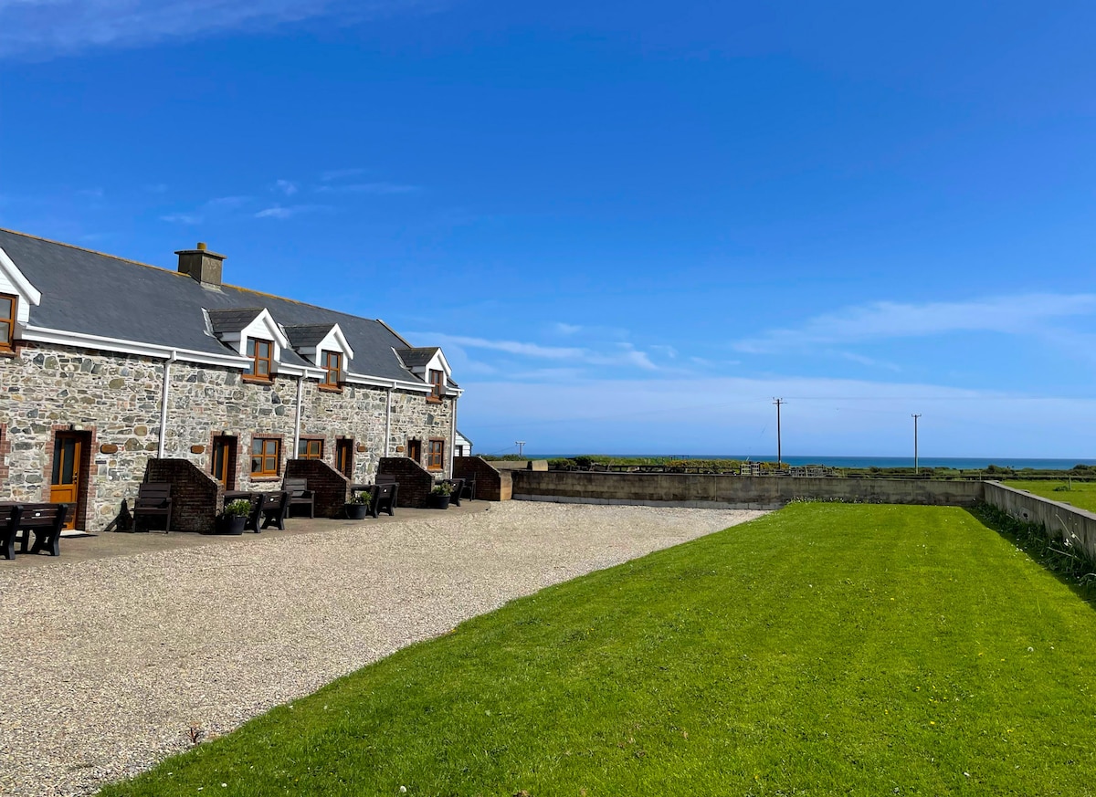 Kilmore WoodWood · 1.8 mi
 Lusitania MemorialMonument · 2.0 mi
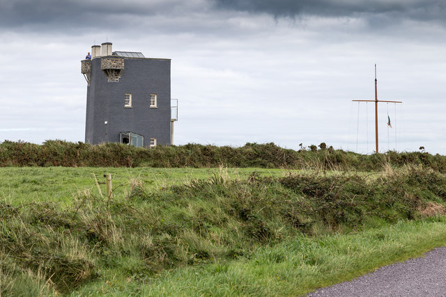 Old HeadViewpoint · 2.0 mi
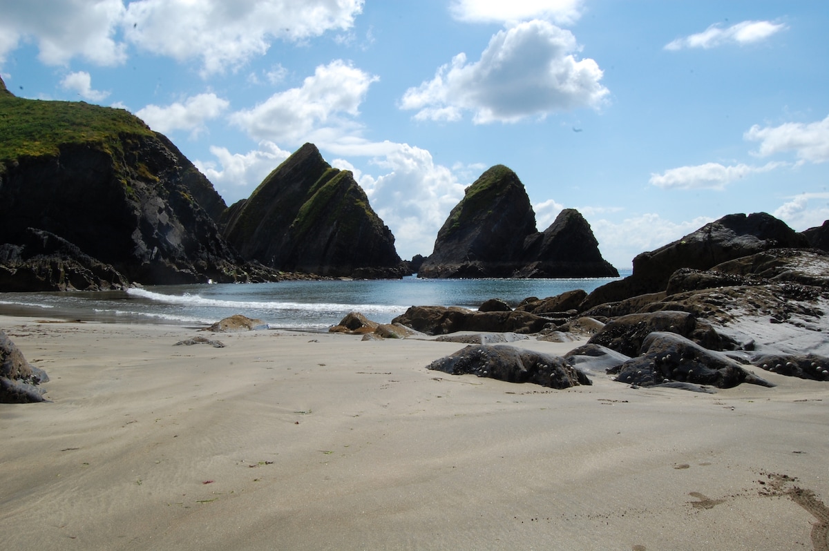 Minane IslandIsland · 2.0 mi
Other information
Photo: Credit not shown in the picture search · Rights wording not checked; contact us if this picture should be removed