What is recorded here
Man-made underground passage in Garranmore (St. Patricksrock parish) is a man-made underground passage in Garranmore (St. Patricksrock parish), County Tipperary, Ireland. Jean Farrelly recorded a deep L-shaped depression measuring 8 metres north-south, 13 metres east-west and 1.3 metres deep in the south quadrant of a nearby ringfort. The depression may represent a collapsed passage that was quarried out, while the surrounding upland slope provides extensive views from south through west to north and higher ground to the east.
In grassland on a W-facing slope just off summit of hill in upland region with good extensive views from S through W to N higher ground to E. Deep L-shaped depression (dims. 8m N-S x 13m E-W; D 1.3m) in S quadrant of ringfort (TS053-069----) may represent a collapsed Man-made underground passage which may have been quarried out.
Compiled by: Jean Farrelly
Date of upload: 26 August 2011
The monument record does not grant public access. Check the route and ask the landowner before entering private land.
- What survives
- Recorded monument
Places near here
 Enclosure in Newpark (ballysheehan Par.)Enclosure · 489 yd
 Hut site in DuallyHut site · 938 yd
 Gortmakellis CastleCastle · 1129 yd
 Ballykelly Church (in Ruins)Church · 1529 yd
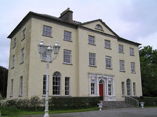 Ballyowen Housecountry house · 1622 yd
 Ballyknock HillMountain / peak · 1.3 mi
 Meldrum Castle (ruins)Castle · 1.7 mi
 Cormac's ChapelHeritage attraction · 2.5 mi
 Rock of CashelHeritage attraction · 2.5 mi
 The Rock Of CashelVisitor information · 2.5 mi
 Black mulberryBlack mulberry · 2.6 mi
 Killough Hill (site of)Mountain / peak · 4.4 mi