What is recorded here
Fairy fort / earthen ringfort in Garranmore (St. Patricksrock parish) is a fairy fort or earthen ringfort in Garranmore (St. Patricksrock parish), County Tipperary, Ireland. It occupies a gentle north-facing pasture slope and joins another ringfort to the southeast through a shared ditch. A circular area 23 metres across holds a well-preserved earth and stone bank, while large boulders still protrude from the sod on the west-northwest side.
In pasture, on a very gentle N-facing slope. Conjoined to ringfort (TS061-015001-) to SE via fosse. Circular area (diam. 23m) defined by well-preserved bank (overall Wth 5.75-6.05m; Wth at top 1.2-1.65m; int. H 0.3-0.75m; ext. H 1.6-2.15m) of earth and stone. Fosse (overall Wth 7.85m; basal Wth 2.8m; D 1.6m) is shared SE-SSW and is less pronounced (overall Wth 8.6m; basal Wth 3.3m; D 0.7m) SSW-SE. Possible portion of outer bank (overall Wth 4.2m; basal Wth 1.5m; int. H 0.7m; ext. H 0.3m) WNW-NW. Large boulders protruding from sod within bank at WNW. Entrance (overall Wth 7m; basal Wth 3m) at SW and gap (Wth 2m) at NE. Interior has a gentle tilt downslope to N. Field boundary (long axis WNW-ESE) abuts exterior of fosse at NE.
Compiled by: Jean Farrelly
Date of upload: 26 August 2011
The monument record does not grant public access. Check the route and ask the landowner before entering private land.
- What survives
- Recorded monument
Places near here
 Burnt spread in GortmakellisBurnt spread · 402 yd
 Gortmakellis CastleCastle · 637 yd
 Enclosure in BallyknockEnclosure · 1015 yd
 Ballyknock HillMountain / peak · 1098 yd
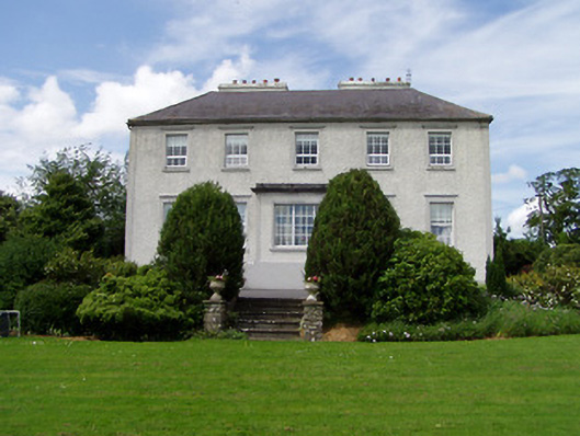 Dually Househouse · 1.2 mi
 Ballykelly Church (in Ruins)Church · 1.4 mi
 Castle in RuinsHouse, fortified house · 1.4 mi
 Cormac's ChapelHeritage attraction · 1.9 mi
 Rock of CashelHeritage attraction · 1.9 mi
 The Rock Of CashelVisitor information · 1.9 mi
 Black mulberryBlack mulberry · 2.0 mi
 Clonoulty HillMountain / peak · 6.6 mi